Last updated: August 29, 2023
Not only is the Blue Mountains the perfect day trip destination to go hiking and visit amazing lookouts, but there are also many fantastic picnic spots where you can enjoy a lunch in the great outdoors.
We have shortlisted 15 of the most scenic picnic spots in the Blue Mountains, some easy to find with great facilities and others a bit harder to get to but with fantastic views.
Our favourite Blue Mountains picnic spot? Hargraves Lookout! Keep reading to see the full list.
1. Elizabeth Lookout Picnic Area
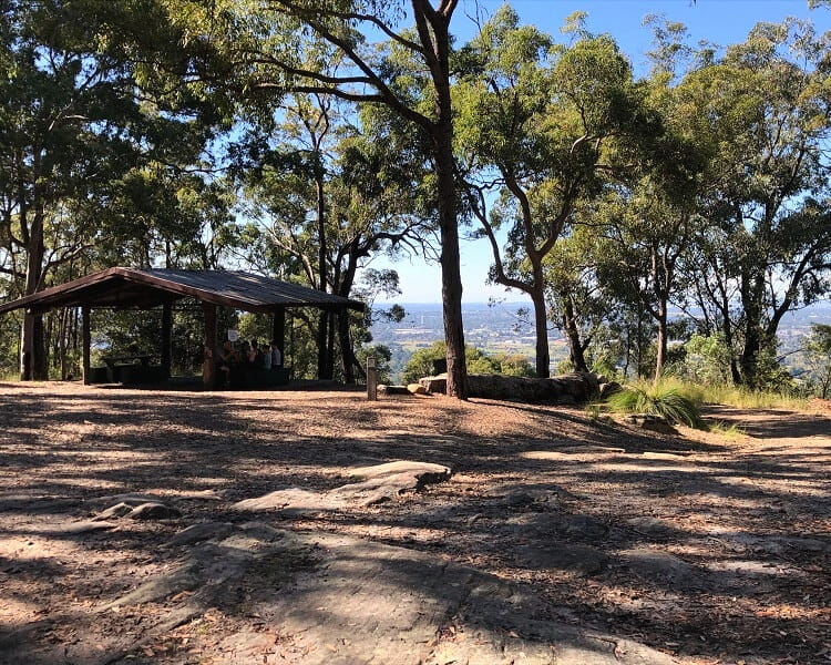
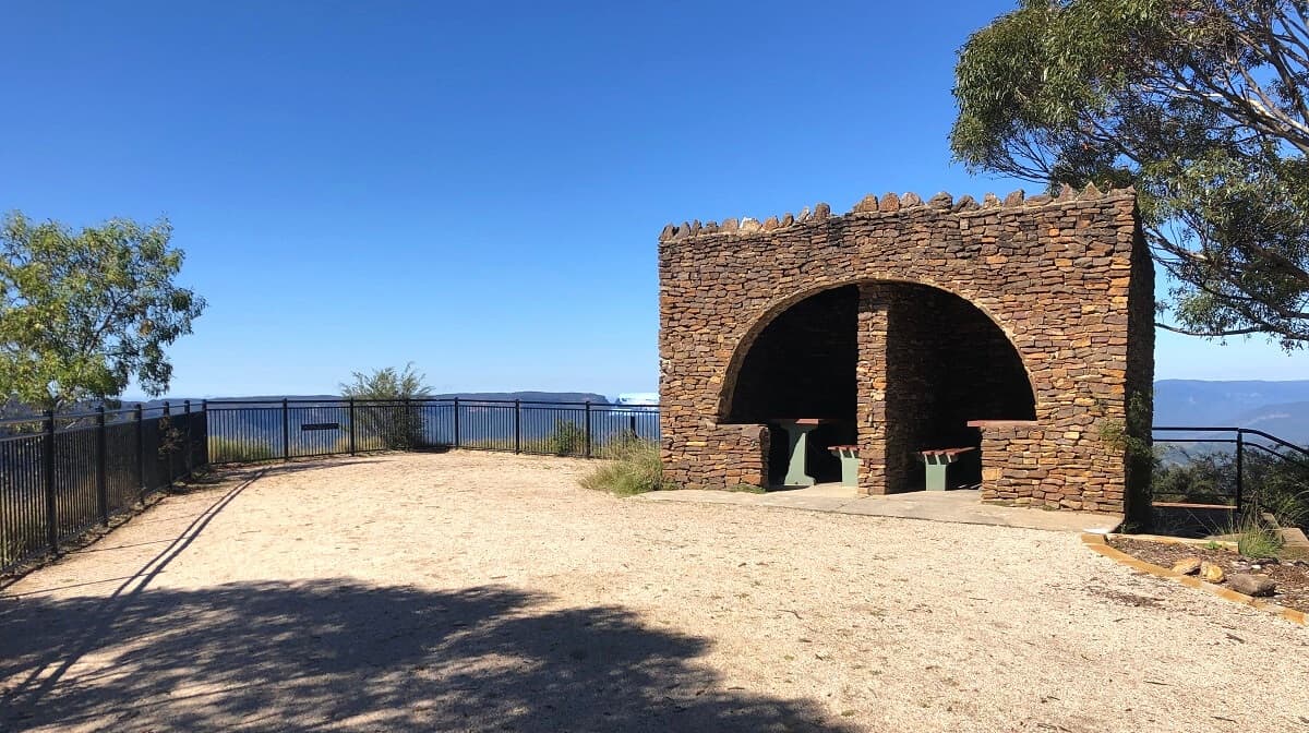
The Elizabeth Lookout is quietly hidden away in Glenbrook in the Lower Blue Mountains, with views extending to the city of Penrith and beyond.
The scenic picnic area is located right behind the lookout, with a sheltered area and a couple of tables at your convenience. There are no BBQ facilities, though.
To get to this picnic area, you can either walk up from the Knapsack Bridge, which is very steep, or you can follow the easy walking trail starting from Barnet Street in Glenbrook.
Read our Lapstone Zig Zag walking track article for a more detailed outline of this fantastic walk plus highlights.
| Where: | Google maps location. |
| Facilities: | Shelters, tables (lookouts and walks nearby). |
2. Hawkesbury Lookout
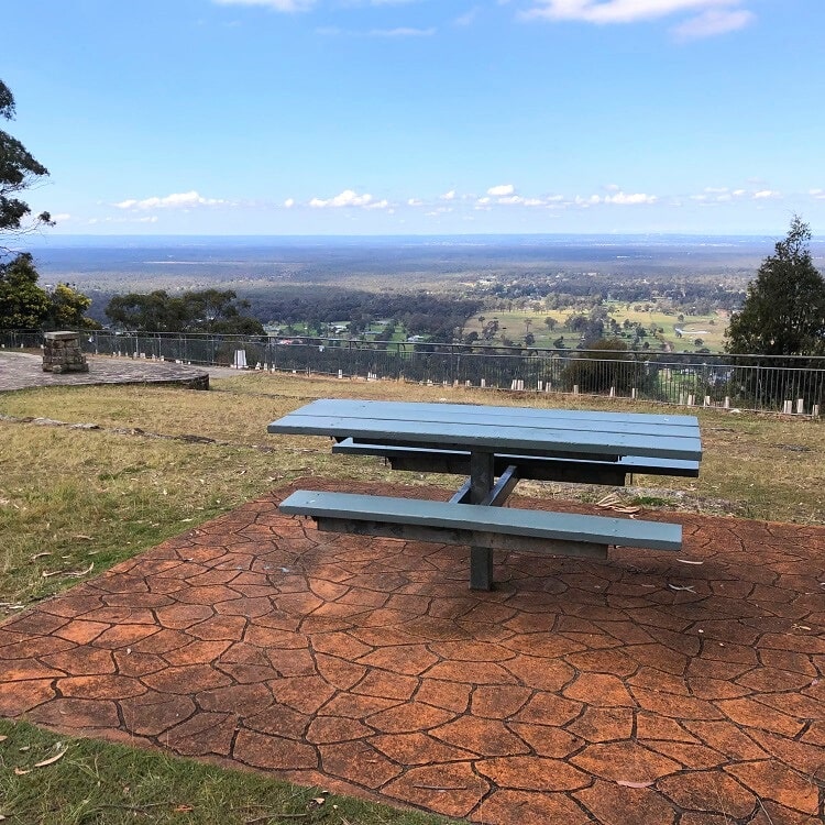
The panoramic Hawkesbury Lookout is located on Hawkesbury Road in the small town of Hawkesbury Heights in the lower Blue Mountains.
Behind the fenced lookout is a large grassy area with several picnic tables, some close to the lookout with great views of the Nepean River and beyond.
The easiest way to get to the Hawkesbury Lookout is by driving into Hawkesbury Road from the Great Western Highway in Springwood.
Read more about Hawkesbury Lookout on the NSW National Parks website.
| Where: | Google maps location. |
| Facilities: | Tables, fenced lookout, parking. |
3. Wentworth Falls Lake
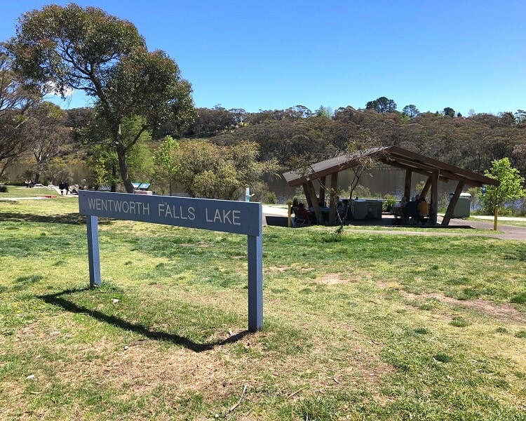
Wentworth Falls Lake is a hidden gem in the Blue Mountains, mostly overlooked by tourists. It was created as a result of the damming of Jamison Creek, which flows into Jamison Valley via the Wentworth Falls waterfall further south.
The old railway dam has been decommissioned, but the beautiful lake is still there and is now a popular recreational area for the locals.
The picnic area and playground are located on the southern shores of the lake and can be accessed via Sinclair Crescent. There are plenty of parking options, and the facilities are top-notch.
Read more about Wentworth Falls Lake on the Blue Mountains City Council website.
| Where: | Google maps location. |
| Facilities: | BBQs, shelters, tables, playground, toilets, parking, wheel-friendly (lookouts and walks nearby). |
4. Wentworth Falls Picnic Area
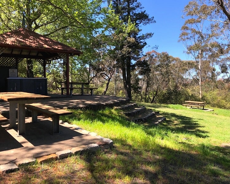
The Wentworth Falls Picnic Area is located on Sir H Burnell Drive opposite the Jamison Lookout overlooking Jamison Valley. It’s a spacious picnic area, with various tables, barbecue facilities, toilets, and a car park.
What’s great about having a picnic at the Wentworth Falls picnic area is that you can combine a good feed with one or more of the many beautiful lookout points and walking tracks nearby.
Do keep in mind though that weekends tend to get very busy there because it’s one of the tourist hot spots in the Blue Mountains.
Have a look at our guide with all Wentworth Falls walks and lookouts for a complete list of things to see and do in this area.
| Where: | Google maps location. |
| Facilities: | BBQs, shelters, tables, toilets, parking, wheel-friendly (lookouts and walks nearby). |
5. Lincoln’s Rock
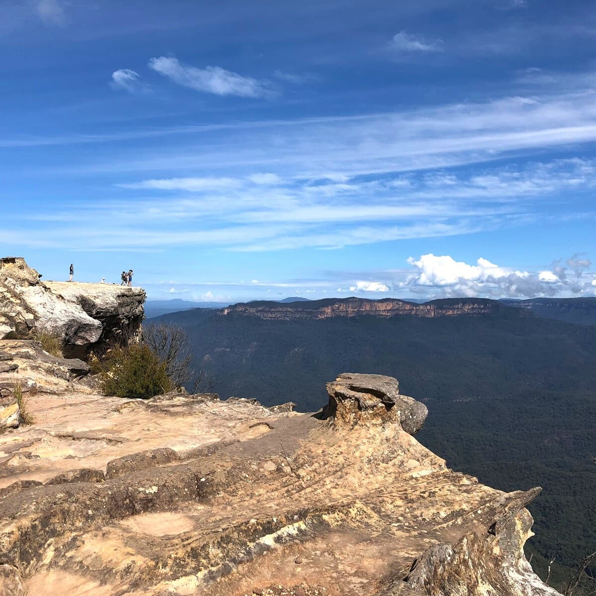
Lincoln’s Rock, on the Kings Tableland plateau south of Wentworth Falls, is one of the most panoramic lookout points in the Blue Mountains, offering incredible views of the Jamison Valley and beyond.
It’s a rather large and open area, so you should be able to find a nice spot to sit down for a picnic. While there are no facilities, the fantastic views make up for that, and that’s what a picnic outdoors is all about.
Read our Lincoln’s Rock and Kings Tableland article for a more detailed description of this beautiful spot, including nearby walks.
| Where: | Google maps location. |
| Facilities: | None, but lots of space to sit down and excellent views. |
6. Gordon Falls Reserve
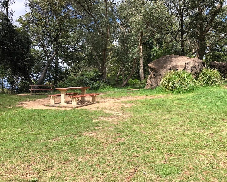
Gordon Falls Reserve is a quiet green space in Leura with various walking tracks, waterfalls, and lookout points nearby to explore.
The picnic area is located on Lone Pine Avenue, with a small car park right next to it. The facilities are excellent, with a couple of sheltered areas and tables, a playground, and a large grassy area to enjoy.
From Gordon Falls Reserve, you have the option to do the walking track to a small waterfall at the Pool of Siloam, or you can go the other direction and explore the Gordon Falls lookout.
Have a look at our Pool of Siloam and Lyrebird Dell article for a more detailed outline of this fascinating walking track plus highlights.
| Where: | Google maps location. |
| Facilities: | BBQs, shelters, tables, playground, parking, wheel-friendly (lookouts and walks nearby). |
7. Leura Cascades Picnic Area
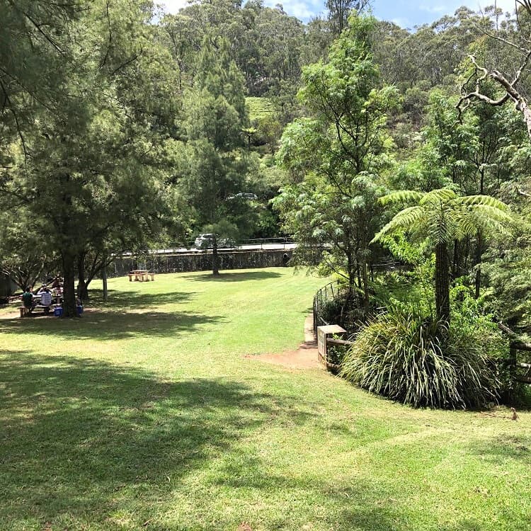
One of the most popular picnic spots in the Blue Mountains is the Leura Cascades picnic area, which has been around for well over a hundred years.
And for good reasons, because not only is this a peaceful and scenic area, but it is also the starting point of an exciting and family-friendly bush walking track to a panoramic lookout point.
Check out our Leura Cascades article for a more detailed description of this beautiful spot plus nearby walking tracks and lookouts. For a more intense hike in this area, try the Bridal Veil Falls circuit walk.
| Where: | Google maps location. |
| Facilities: | Shelters, tables, toilets, parking (lookouts and walks nearby). |
8. Minnehaha Falls Reserve
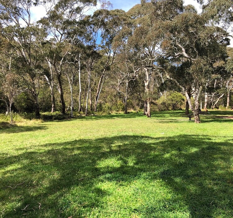
The picnic area at Minnehaha Falls Reserve is at the end of Minni Ha Ha Road in North Katoomba. It is home to a car parking area and a large grassy area with several picnic tables.
The reserve, which has been around since the late 19th century, is best known for the waterfall that goes by the same name.
A 3 km return bush walking track, starting from the picnic area, will get you to that waterfall, passing through scenic bushland.
Have a look at our Minnehaha Falls article for a detailed outline of the walking track to this beautiful waterfall.
| Where: | Google maps location. |
| Facilities: | Shelters, tables, parking (walking track and waterfall nearby). |
9. Katoomba Cascades Picnic Area
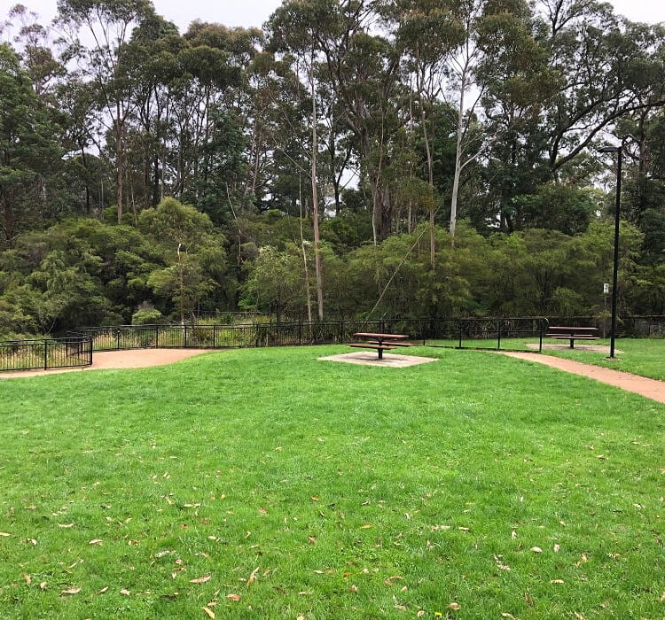
The picnic area next to Katoomba Cascades is a peaceful grassy area with various picnic tables. It’s a great spot, with the cascades and a short walking track to a beautiful lookout point to explore.
The Katoomba Cascades area can get very busy on the weekends, as it’s located near all the major tourist highlights. There are other open picnic areas nearby, such as Katoomba Falls Reserve, in case it gets too busy.
Check out our Katoomba Cascades article for a more detailed guide to this beautiful water spectacle plus nearby walking trails and lookouts.
| Where: | Google maps location. |
| Facilities: | BBQs, tables, playground, toilets, parking, wheel-friendly (lookouts and walks nearby). |
10. Govetts Leap Lookout Picnic Area
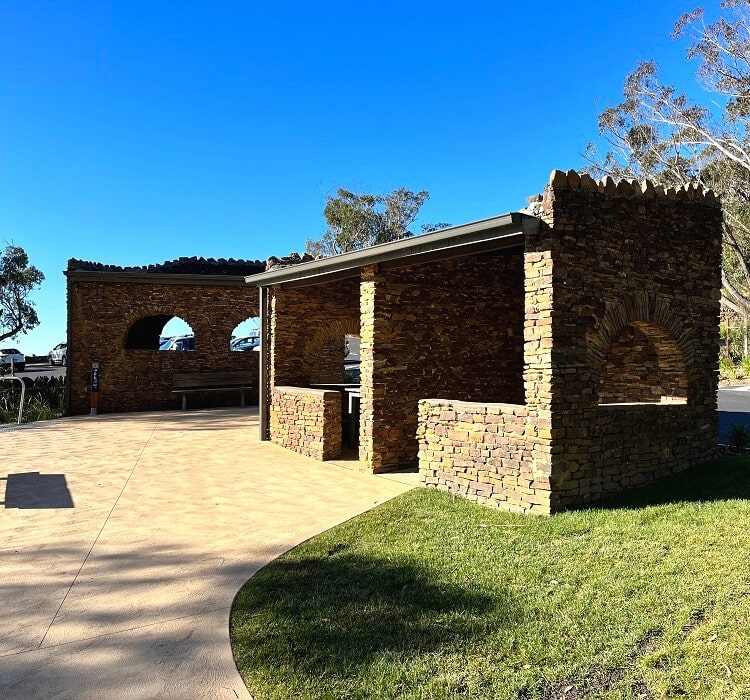
The Govetts Leap Lookout is one of the most popular tourist attractions in the Blackheath region of the Blue Mountains.
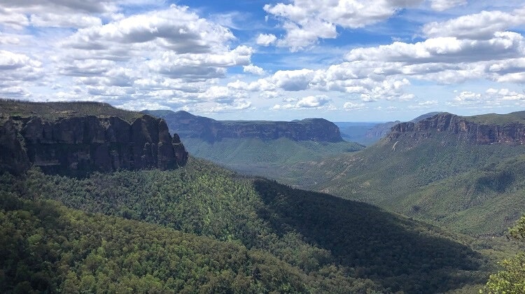
The lookout offers panoramic views of the Grose Valley, with a couple of bushwalks nearby to further explore the area.
The picnic area at Govetts Leap has plenty of tables available, including a couple of sheltered seating areas.
Read our Govetts Leap article for more pictures of this incredible lookout point plus nearby walks and waterfalls.
| Where: | Google maps location. |
| Facilities: | Shelters, tables, parking, wheel-friendly (lookouts and walks nearby). |
11. Mount Blackheath
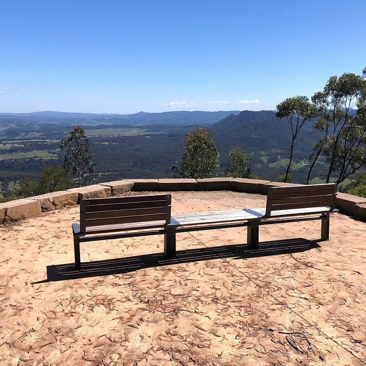
The Mount Blackheath Lookout, also referred to as the Blackheath Lookout, is still a bit of a hidden gem in the Blue Mountains.
This lookout is located in the quieter western section of the Blackheath area and not only offers fantastic district views but is also a popular hang-gliding and paragliding spot.
It’s a great location to visit, with several lookout points, toilet facilities, a picnic area, and a purpose-built launch ramp for hang gliders.
Check out our Blackheath Lookouts article for a complete list of the best lookout points and picnic spots in the Blackheath area.
| Where: | Google maps location. |
| Facilities: | Tables, benches, toilets, parking. |
12. Hargraves Lookout
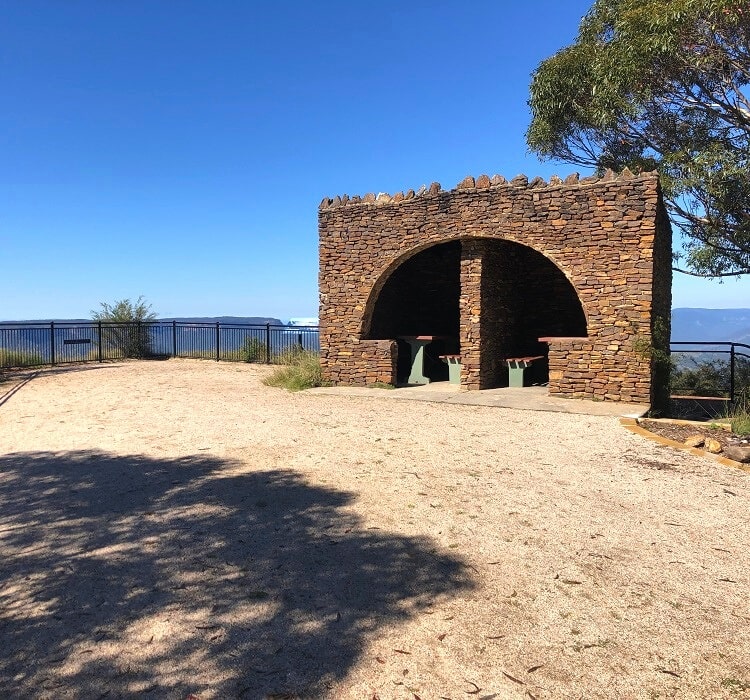
The Hargraves Lookout is located in the same area as the Blackheath Lookout and can be accessed by driving to the very end of Shipley Road, where you will find a small car parking area.
This spot has recently been upgraded with new lookout platforms, picnic and toilet facilities, and wheelchair access. There is also a short walking trail that leads to the southern tip of the headland.
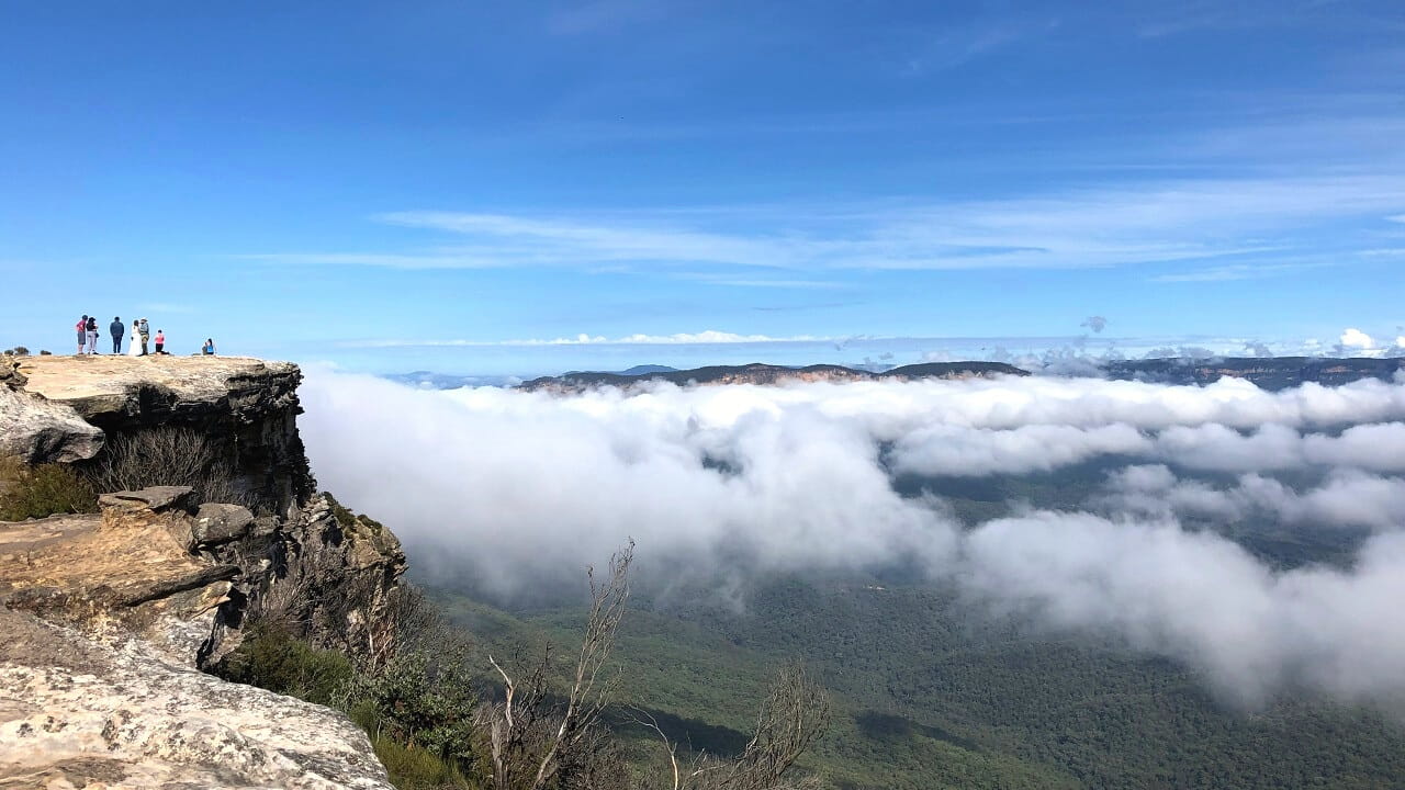
The views over the Megalong Valley from the Hargraves Lookout are amazing and reach as far as Oberon on a clear day.
Both the Hargraves and Mount Blackheath lookout points are managed by the Blue Mountains City Council, and that means that dogs are also welcome, albeit on a lead.
| Where: | Google maps location. |
| Facilities: | Shelters, tables, toilets, parking. |
13. Mount York Picnic Area
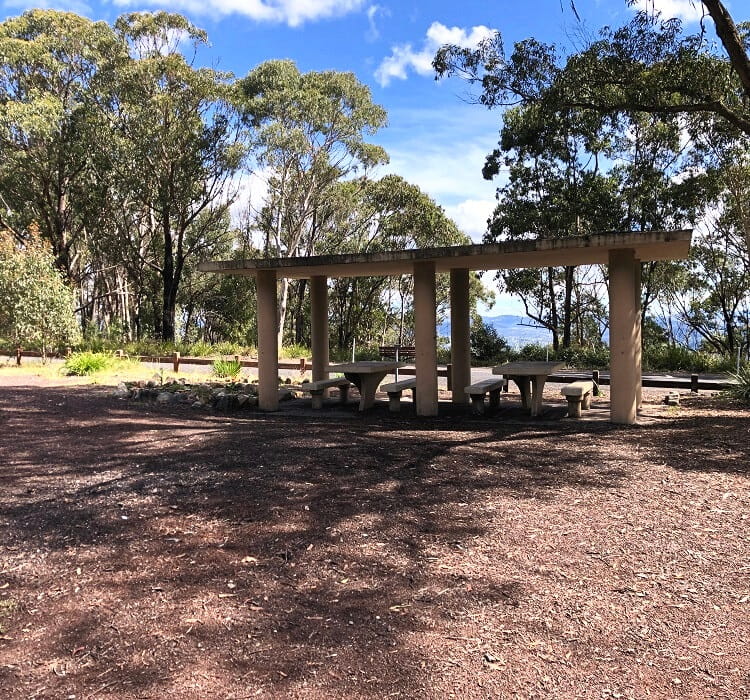
Mount York is a mountain located just outside the township of Mount Victoria, the westernmost village in the City of Blue Mountains.
The summit of Mount York is home to various monuments, memorials and plaques related to the first crossing of the Blue Mountains in 1813 and subsequent attempts to build roads to the plains west of the mountains.
The Mount York area is home to several walking tracks and lookouts, a camping ground, picnic facilities, and a well-sized parking area.
Read our Mount York article for a complete guide to things to do in this unique area in the Blue Mountains.
| Where: | Google maps location. |
| Facilities: | Shelters, tables, toilets, parking (lookouts and walks nearby). |
14. Burragorang Lookout
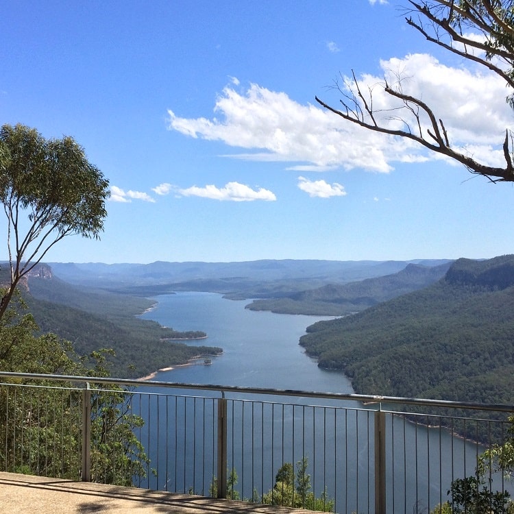
The Burragorang Lookout is a scenic viewing platform in the small village of Nattai in the Wollondilly Shire, overlooking the immense Lake Burragorang.
The recently upgraded lookout is located right next to the car park and is wheel-friendly. It has a large, fenced platform, with various information boards explaining more about Lake Burragorang and the surrounding area.
The spacious picnic area is conveniently located next to the car park and consists of a few covered tables and an electric BBQ.
Check out our Burragorang Lookout article for a more detailed description of this beautiful spot.
| Where: | Google maps location. |
| Facilities: | Tables, toilets, parking (lookouts and walks nearby). |
15. Walls Lookout
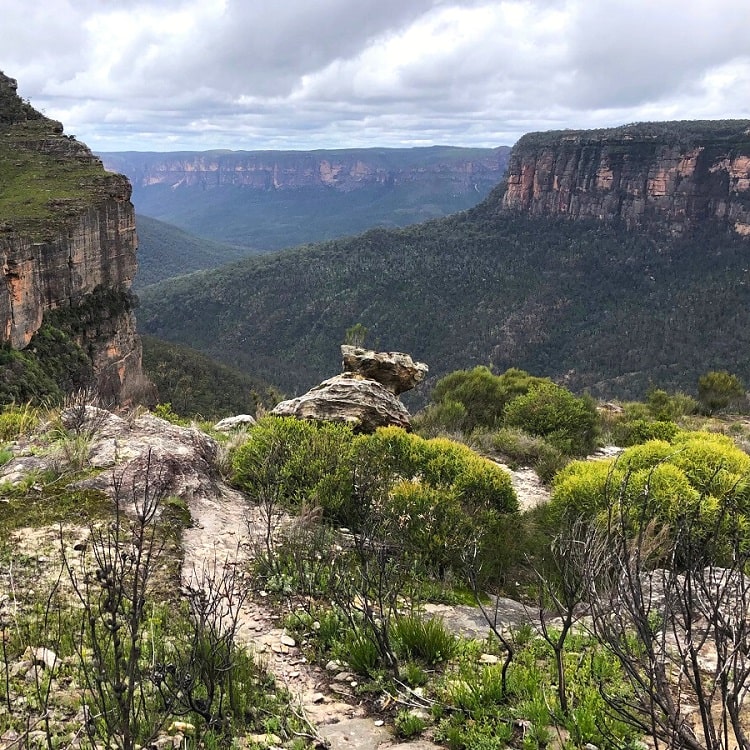
Did we save the best for last? The Walls Lookout as a picnic spot is for those with an adventurous mindset, as there are no facilities, but the views of the valley and the surrounding area are incredible.
The walking track to the Walls Lookout can be accessed via Bells Line of Road in the northern part of the Blue Mountains.
The lookout is essentially a large open area facing Grose Valley, with various spots where you can lay down your picnic blanket for a lovely few hours.
Check out our Walls Lookout article for a detailed description of the walking track to this incredible vantage point.
| Where: | Google maps location. |
| Facilities: | None, but lots of space to sit down and excellent views. |
