Last updated: January 22, 2023
The Coast Track between Bundeena and Otford in Royal National Park is one of the most iconic coastal walking tracks in Sydney and in New South Wales.
From scenic lookout points and waterfalls to swimming spots and isolated beaches, the 26 km Coast Track truly is a once-in-a-lifetime hiking experience.
In this article, we’re going to discuss the highlights of this hike, where best to start, how many days you will need, and where to set up camp.
Quick navigation:
| The Coast Track | |
|---|---|
| Distance: | 26 km (one way) |
| Duration: | 7 hours – 2 days |
| Grade: | Hard (because of distance) |
| Dogs: | Not allowed |
How to Get to the Coast Track
The Coast Track can be commenced from Bundeena in the north as well as from Otford in the south. Because it’s a long-distance, one-way walking track, the best way to get there is by using public transport.
Fortunately, both Bundeena and Otford are easily accessible via public transport.
Bundeena
Bundeena has a ferry wharf with an hourly ferry service running between Bundeena and Cronulla, crossing the Port Hacking River.
This service is provided by Cronulla & National Park Ferry Cruises, which means you can’t use your Opal card. Check the timetable for more information and cost. The Cronulla ferry wharf is very close to the train station.
Otford
Otford has a train station and connects with Sydney Central Station. On weekends, it takes approximately one hour to travel between Central and Otford on the Illawarra and South Coast train lines. Check the Transpost NSW trip planner website for more information.
If you do wish to travel by car, both Bundeena and Otford have free street parking options available.
Starting Point
The official starting point of the Coast Track is at the end of Beachcomber Avenue in Bundeena.
However, the walk can also be started from the western end of Jibbon Beach, heading east to Jibbon Head, continuing south along the coast. Check out our guide to the Jibbon Beach circuit walk for more details on that section.
Map
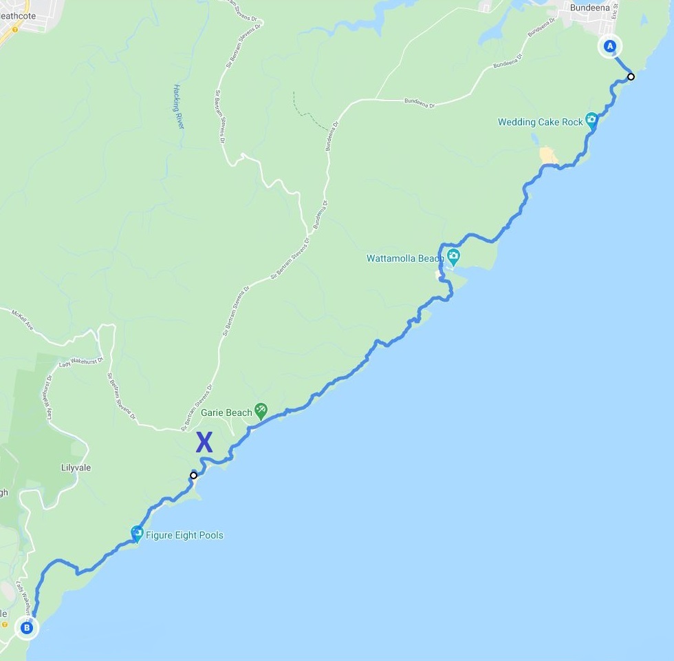
The below map includes the entire Coast Track starting at Beachcomber Ave all the way to the Otford Lookout. The “X” marks the North Era camping ground.
You can also see the full track on Google Maps here.
One Day or Two Days?
The big question is, should you do the Coast Track in one or two days? The answer to that question depends on a few things.
1. Fitness
Contrary to what many people may think, the Coast Track can be done in one day. It certainly is a long track, but apart from a few steep sections, the path is mostly relatively flat.
In other words, if you’re a fit person and have comfortable hiking boots, the entire track can be completed within 7-9 hours.
2. Pace
For some people, hiking is a way of working out. High pace, fresh air, and get those legs pumping.
For others, however, hiking is more of a social activity to be enjoyed with others, while maintaining a moderate pace with a bit of sightseeing thrown into the mix.
If you fall into the first category, one day is manageable. If you’re a social hiker, two days might be the better option.
3. Camping
If camping is something you enjoy doing, then make the most of it. Bring a good hiking tent with you, and stay overnight at the North Era campground.
Keep in mind that permits to camp at North Era camping ground in the Royal National Park need to be booked in advance.
The Coast Track From North to South
Starting in Bundeena and finishing in Otford, the track is divided into two sections, with the North Era campground as the milestone located around the 18 km mark.
The two sections of the Coast Track:
- Bundeena to North Era Campground (18 Km)
- North Era Campground to Otford (8 Km)
If you’re planning to go camping, the North Era campground is an excellent option with toilet facilities and lots of open space.
In general, signage along the way is good, and even though there are several intersections with other tracks, it is relatively easy to stay on the right path and not get lost.
1. Bundeena to North Era Campground (18 Km)
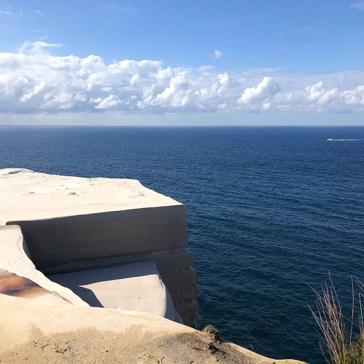
The official starting point of the Coast Track is at the end of Beachcomber Ave in Bundeena. This also happens to be the starting point of the track to the popular Wedding Cake Rock.
As mentioned above, an alternative option is to start the walk at the western end of Jibbon Beach in Bundeena.
From there, follow the Jibbon Beach loop track around Jibbon Head and Port Hacking Point, where the trail continues south along the coast.
Marley Beach and Little Marley Beach
About 1 km south of Wedding Cake Rock is Marley Beach, a large southeast-facing beach with an extensive area of sand dunes behind it.
It is one of the largest beaches in the Greater Sydney area, but as beautiful as it is, Marley Beach is generally considered unsafe for swimming.
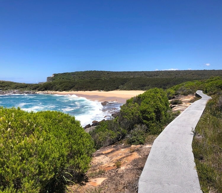
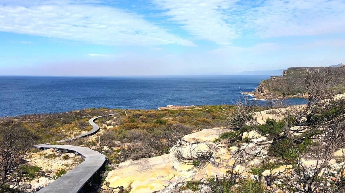
A scenic boardwalk connects Marley Beach with Little Marley Beach, a smaller east-facing, arc-shaped strip of sand with rock platforms on both ends of the beach.
From there, the Coast Track continues to Wattamolla Beach.
Wattamolla Beach
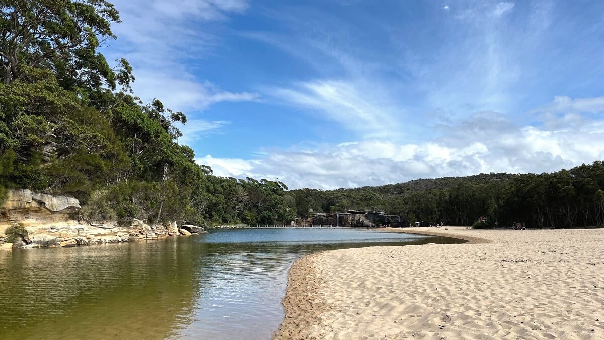
The Wattamolla picnic area, with a beach and waterfall nearby, is a popular family weekend destination for swimming, fishing, snorkelling and hiking.
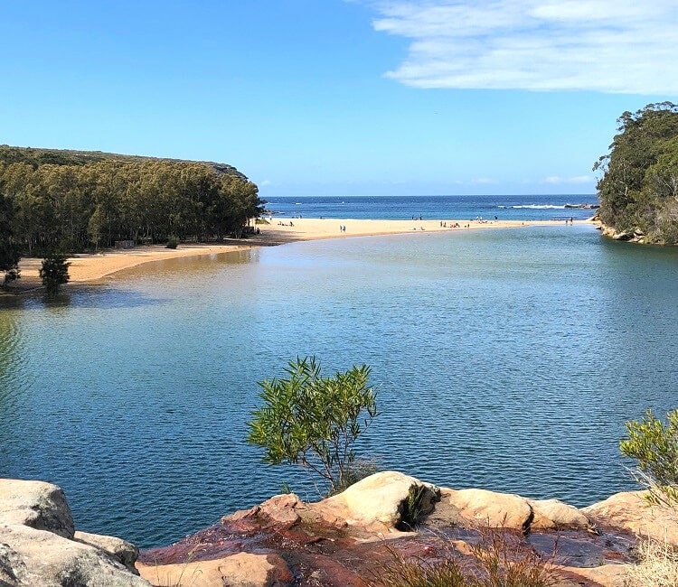
From the picnic area, it’s worth doing a short detour to the Providential Point Lookout, where you can soak in beautiful ocean views.
Eagle Rock and Curracurrong Falls
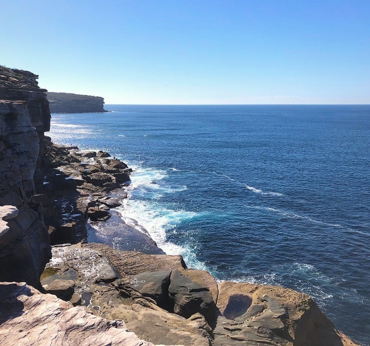
Located around 4km south of Wattamolla are two of the most iconic landmarks in the Royal National Park: Curracurrong Falls and Eagle Rock.
Curracurrong Falls is one of the very few waterfalls in the world that drops straight into the ocean. When the winds are strong, the water can often be seen being pushed back up, which makes for a pretty spectacular sight.
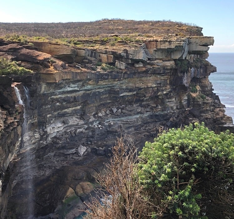
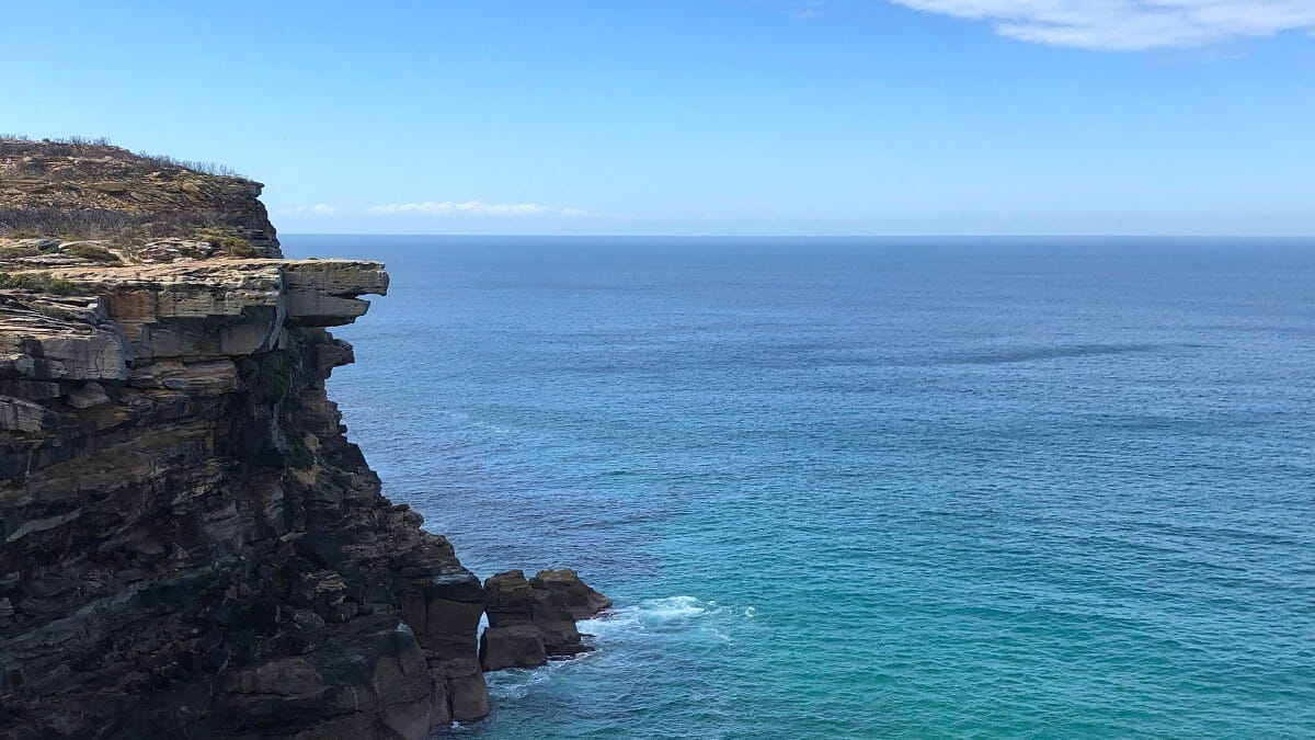
Right next to Curracurrong Falls is Eagle Head Rock, a unique rock formation that resembles an eagle’s beak.
Two unique and spectacular sights, with usually very few tourists around, which allows for excellent photo opportunities.
Garie Beach
From Eagle Rock, the Coast Track continues to Garie Beach, one of the most popular beaches in Royal National Park.
The beach is a 900 metres long strip of sand that is patrolled by the Garie Surf Life Saving Club on weekends.
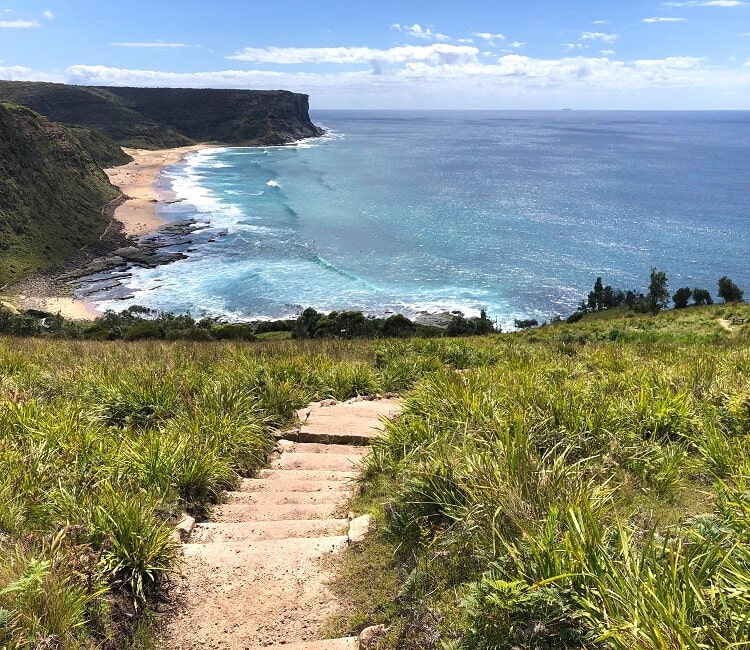
It’s a popular swimming and surfing beach with excellent facilities, such as toilets, a kiosk, a large car park, and a picnic area.
Little Garie Beach is just moments away from Garie Beach and, as the name suggests, is a much smaller strip of sand, surrounded by rocks.
North Era Campground
From the two Garie beaches, the trail continues past Thelma Head and towards North Era Beach and Era Beach.
The only official camping ground along the Coast Track is located roughly 18 km south of the starting point of the walk. The ground consists of several bush camping sites in scenic, remote surroundings.
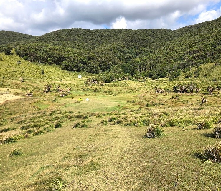
Overlooking the beach, the North Era campground is spacious and has toilet facilities, but it is otherwise a very basic campsite.
Please note that bookings are essential, with a 1-night maximum stay to allow for other hikers to also enjoy a camping experience in this remote spot.
2. North Era Campground to Otford (8 Km)
One of the perks of staying overnight at the North Era campground is that you can start the day with a refreshing morning swim with the beach right in front of you. Weather permitting, of course!
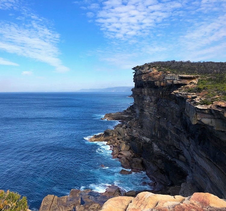
The second stretch of the Coast Track is an 8 km hike from the camping ground to the Otford Lookout.
This three-hour adventure includes a section of the Palm Jungle loop track, a challenging and exciting walk that takes in beautiful rainforest and scenic coastal views.
Figure 8 Pools
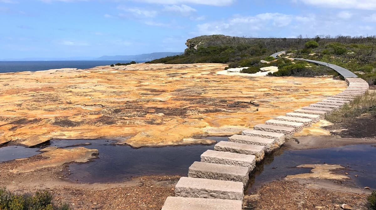
The most popular sight in this part of the Royal National Park is the famous, but perhaps slightly over-hyped, Figure 8 Pools, which can be accessed via a short but challenging detour.
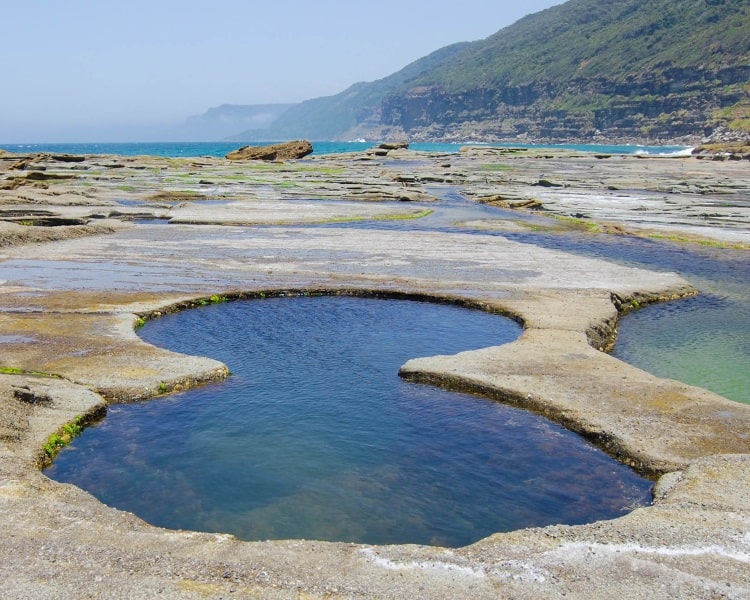
If visiting the Figure 8 Pools is part of your plan, make sure to check the tides beforehand because the pools are only accessible at low tide.
Otford Lookout
The last point of interest along the Coast Track is the Otford Lookout, located at the southeastern end of the Royal National Park.
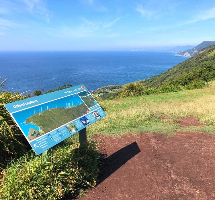
Take a moment to enjoy the views and be proud of your achievement.
From the lookout, it’s only a short stroll to Otford train station, where you can make your way back home or to Cronulla.
Where would i find a topographical map of the bundeena to ortford hike route?
Did you also use a map to navigate your way around or are there signs that showed where to go?
Hi Julie,
Try this map that we created on Google Maps.
In general, the Coast Track is very easy to navigate with lots of signage and well-maintained tracks and boardwalks.
I’d like to do the Coast Track over two days in August, but don’t want to camp. The earlier comment mentioned getting an Uber out. Where are the best options for breaking halfway and restarting the next day using a taxi or uber service?
There really aren’t any towns between Otford and Bundeena, so you’ll have trouble finding a place to stay unless you want to get a taxi (not a lot of Ubers in the national park) and stay at a B&B back in Bundeena or Otford/Helensburgh.
Hi,
You can take a shuttle bus from Wattamolla going to Bundeena and Sutherland.
I found walking from Otford to Bundeena to be significantly more difficult. It felt like the hills and stairs were never ending (we did take an accidental turn down to Hell Hole (which added a couple of kilometres and an extremely steep climb back up from the beach) and we gave up by Garrawarra farm carpark and called an Uber. I haven’t attempted starting from Otford since. Did you find this direction physically more difficult?
Thanks so much for the feedback, Ash.
I’ve only done this hike southbound so I’m not sure whether it’s harder starting at Otford. But I can imagine it is, because the track from Otford going north to the Figure Eight Pools is quite challenging, whereas the track going south from Bundeena is much easier. So when you start at Otford, you’re doing the harder section first. I’m sure the return trip down to the beach probably didn’t help either!