Last updated: July 30, 2022
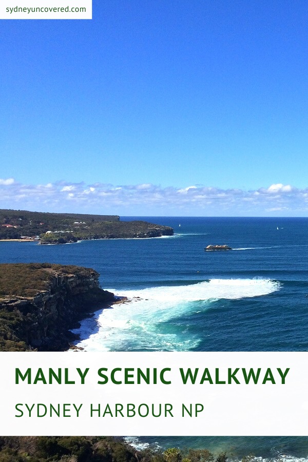
The Manly Scenic Walkway is a stunning 19.5 km coastal walk between the Spit Bridge and Manly Beach, followed by the Manly North Head walk.
This is one of the most iconic hikes in Sydney and New South Wales, and forms part of the 80 km coastal trail between Bondi and Manly.
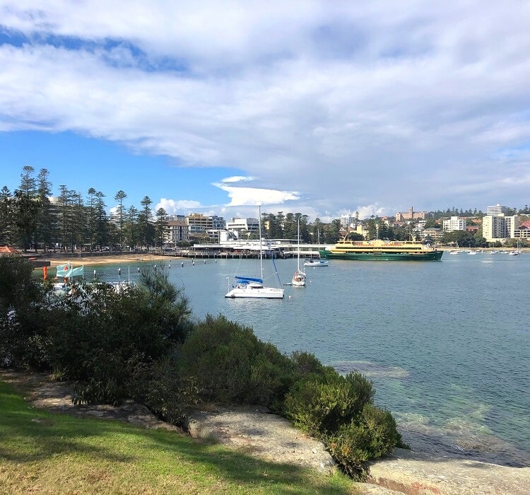
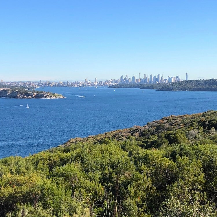
Pack your gear and be mesmerised by sweeping Sydney Harbour and ocean views, picturesque bays, and secluded inner harbour beaches, as you’re going to conquer one of Sydney’s finest coastal walks.
| Manly Scenic Walkway | |
|---|---|
| Distance: | 19.5 km (one way) |
| Duration: | 6-10 hours |
| Grade: | Hard (due to length) |
| Dogs: | Not allowed on some sections |
How to Get There
It’s recommended to use public transport when doing (parts of) the Manly Scenic Walkway.
Especially on the weekends, when you can use unlimited public transport for a daily capped fee with your Opal Card.
Public Transport
Catching a bus from the city to the Spit Bridge is easy. In Manly, once you’ve finished the North Head section, you can catch a bus or a ferry back to the city.
The ferry trip between Manly and Circular Quay is an experience in its own right, with great views of Sydney Harbour. Check the bus and ferry timetables on the NSW Transport Info website.
Car
There is (limited) parking available north of the Spit Bridge at Battle Boulevard. Alternatively, you can try parking south of the bridge at the Spit Bridge Reserve.
You can also choose to skip the first part of the hike and park your car at Clontarf Reserve (expensive). Otherwise, Tania Park (free) at Dobroyd Head has a large parking area.
From Manly, you can catch a ferry or bus to the city and then another bus back to the Spit Bridge. Another option is to grab a taxi or an Uber to get you back to your starting point.
About the Manly Scenic Walkway
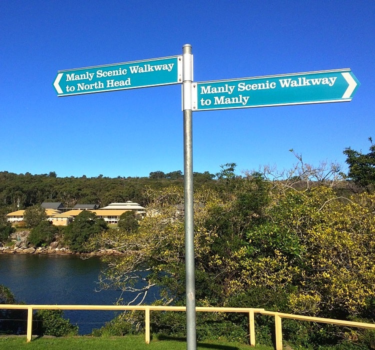
The Manly Scenic Walkway is rarely done in one go, as hiking 19.5 kilometres is quite challenging. Many people do the popular Manly to Spit walk, unaware that the Manly Scenic Walkway continues all around North Head and back into Manly.
It wasn’t until a few years ago that the Manly Scenic Walkway consisted only of the Spit to Manly section, which is why many websites still use both these names as being the same.
The 10 km Spit to Manly walking trail was opened in 1988, and the 9.5 km Manly North Head circuit track was added many years later.
This second part of the Manly Scenic Walkway starts and finishes at Manly Wharf, right where the Spit to Manly walk ends.
If 19.5 km is just a bit too much to do in one day, you can, of course, also just do the two sections on different days.
Note that the Manly Scenic Walkway is now also part of the recently opened Bondi to Manly walk, an 80 km long coastal adventure between Bondi Beach and Manly Beach.
The Route
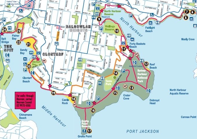
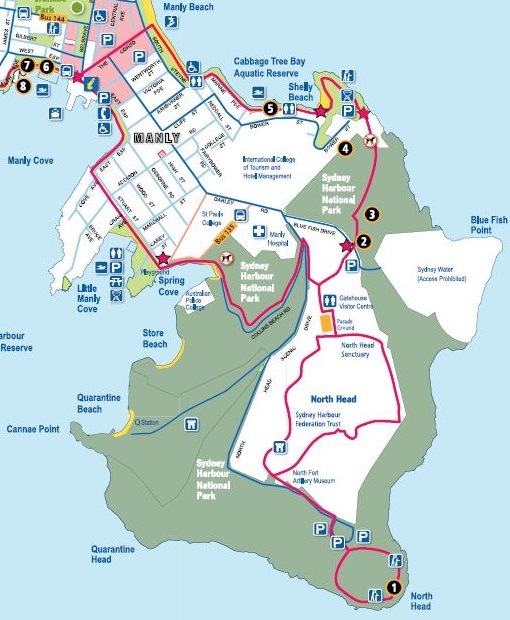
The two maps below reflect the first and second sections of the Manly Scenic Walkway.
The first section is the Spit to Manly Walk, the second section is the Manly North Head Walk, and the two combined form a stunning 19.5 km long coastal walking track.
You can download the complete map from the Northern Beaches Council website.
Section 1: Spit to Manly Walk
Section 2: Manly North Head Walk
1. Spit Bridge to Manly Walk
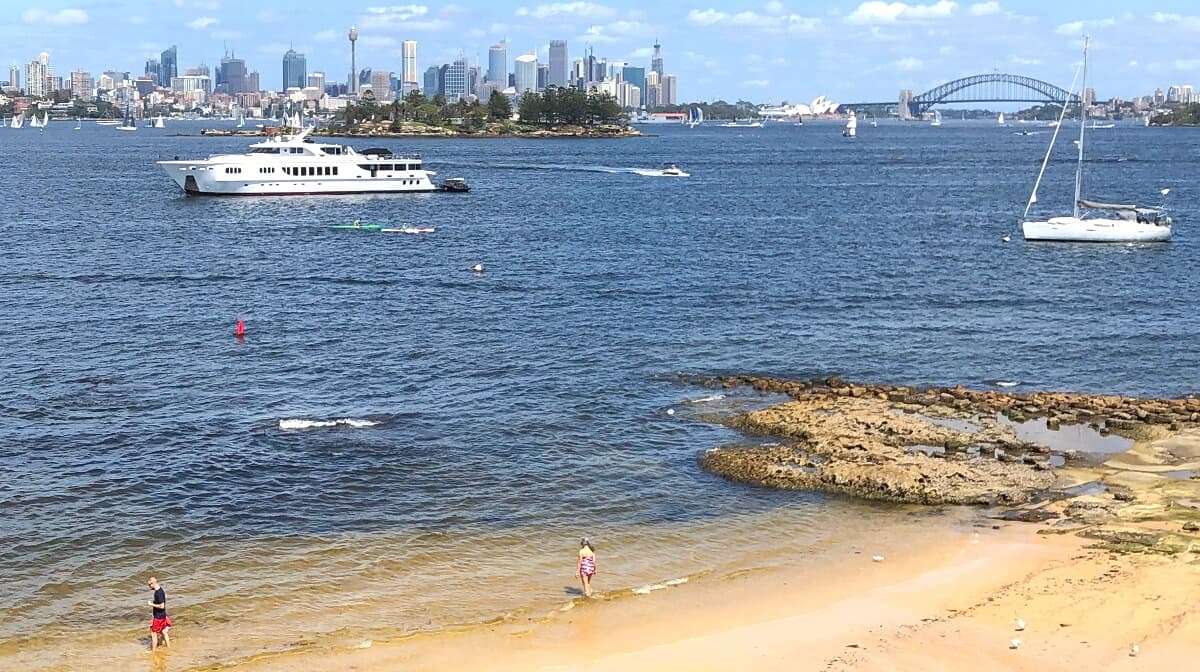
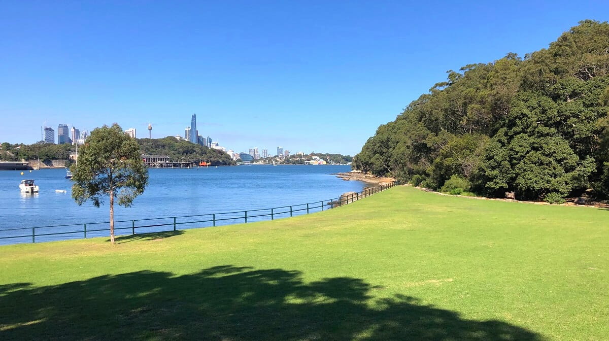
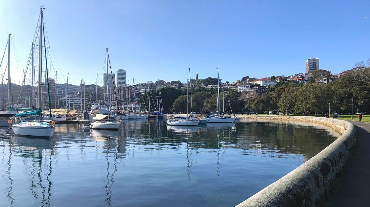
The 10 km walking trail between the Spit Bridge and Manly is one of the most popular urban coastal walks in Sydney, rivalling the Bondi to Coogee walk in the eastern suburbs, south of the Harbour Bridge.
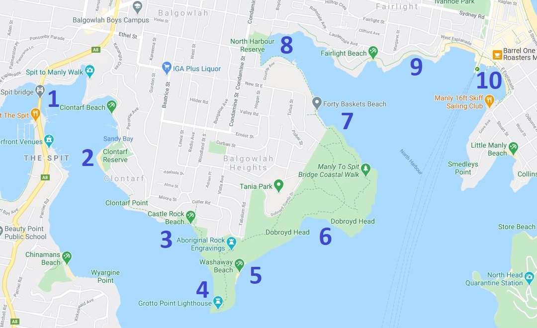
These are some of the highlights and landmarks you will discover along the Spit to Manly walking track:
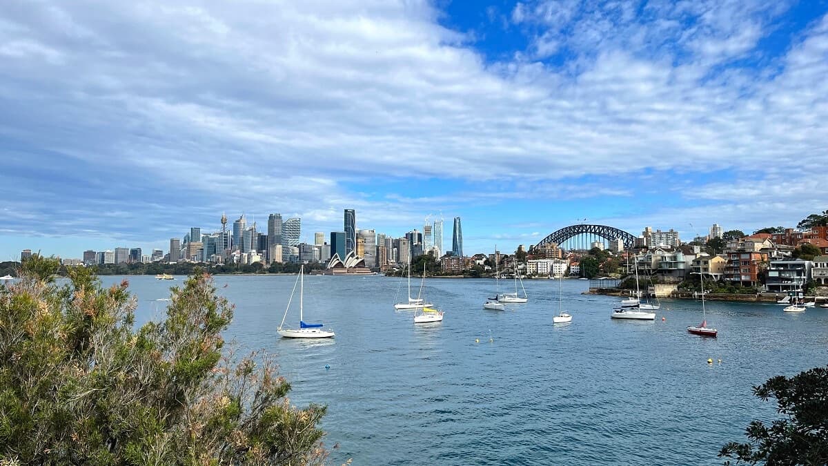
- The Spit Bridge
- Clontarf Reserve
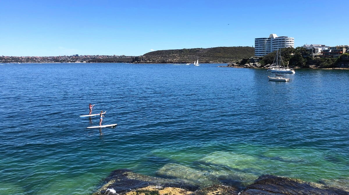
- Castle Rock Beach
- Grotto Point Lighthouse
- Washaway Beach
- Dobroyd Head Lookouts
- Reef Beach and Forty Baskets Beach
- North Harbour Reserve
- Fairlight Walk
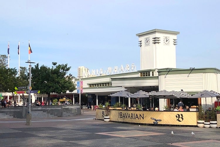
- Manly Wharf
Here is a map with these highlights marked:
| Spit to Manly Walk | |
|---|---|
| Distance: | 10 km |
| Duration: | 3-5 hours |
| Grade: | Moderate |
2. North Head Walk
The 9.5 km North Head Walk in Manly is one of Sydney’s most fascinating hikes, with lots of history, panoramic views, and scenic beaches to enjoy from start to finish.
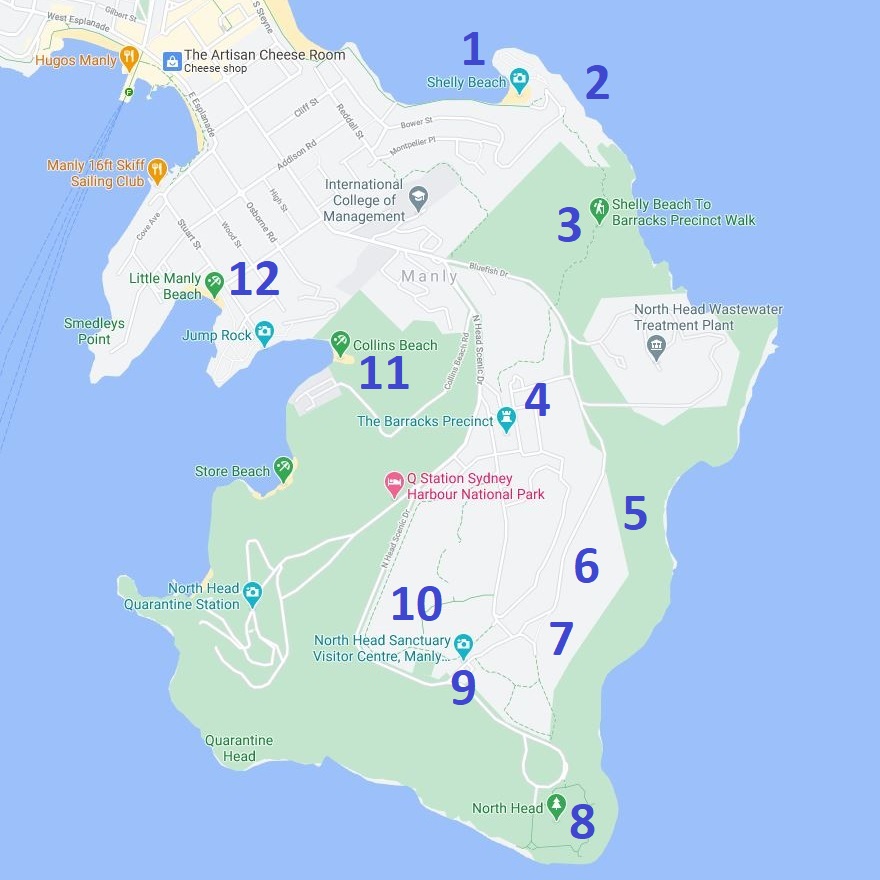
These are some of the highlights and landmarks you will discover along the North Head walking track:
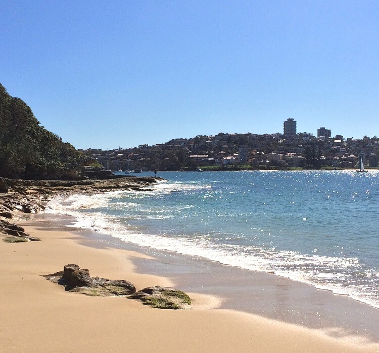
- Shelly Beach
- Shelly Headland Lookouts
- Bluefish Track
- The Barracks Precinct
- Hanging Swamp
- Gun Emplacements
- Australia’s Memorial Walk
- Fairfax Lookout
- North Fort
- Third Quarantine Cemetery
- Collins Beach
- Little Manly Beach
Here is a map with these highlights marked:
| North Head Walk | |
|---|---|
| Distance: | 9.5 km (part circuit) |
| Duration: | 3-5 hours |
| Grade: | Moderate |