Last updated: February 26, 2024
Starting from the challenging Golden Stairs, the 7.5 km Ruined Castle Walk is a popular bushwalking track near Katoomba that leads to a unique landmark in the Blue Mountains.
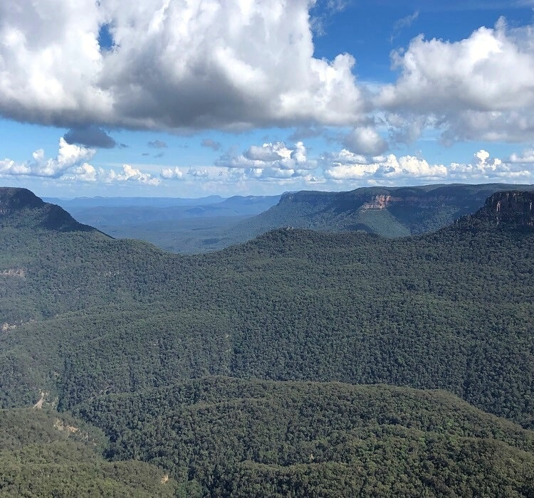
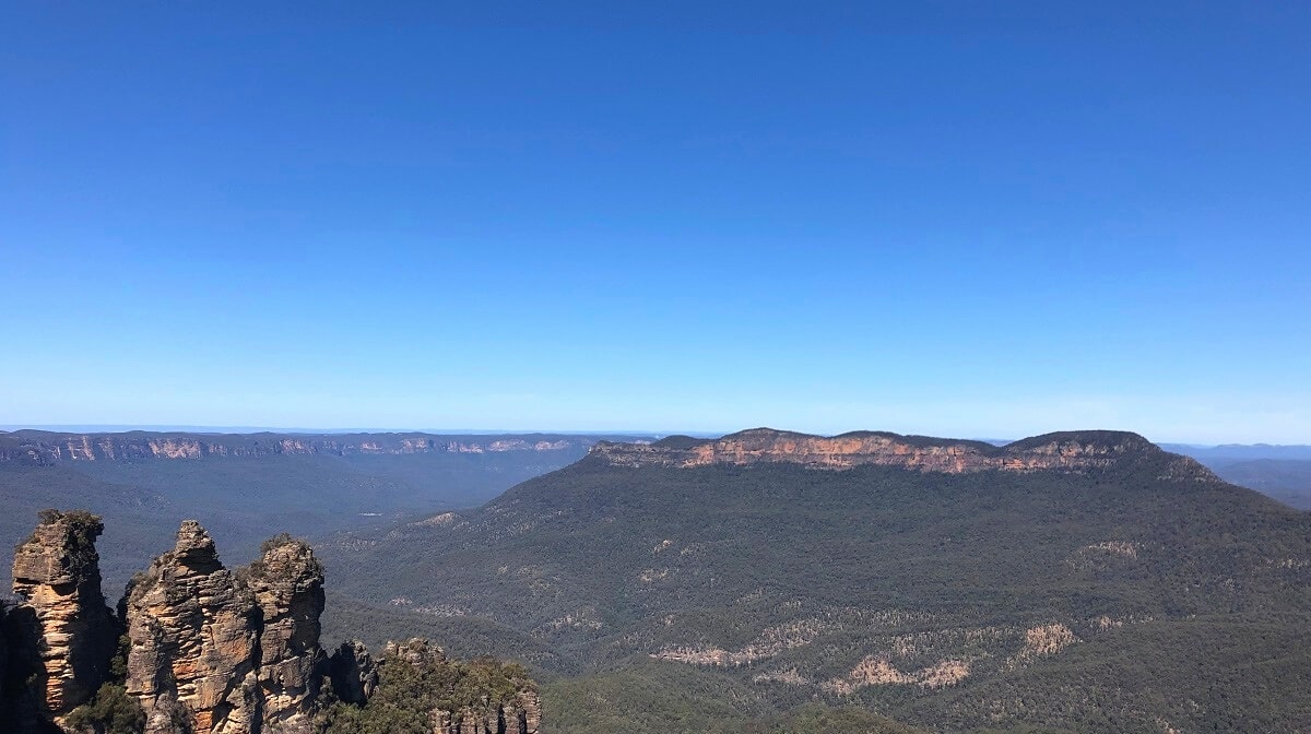
It’s a beautiful hike through a lush rainforest setting, with scenic views to enjoy of Jamison Valley, the Three Sisters, Castle Head, and Mount Solitary from the top of the Ruined Castle.
| Ruined Castle Walk | |
|---|---|
| Distance: | 7.5 km (return) |
| Duration: | 4-5 hours |
| Grade: | Hard (steep sections) |
| Dogs: | Not allowed |
How to Get There
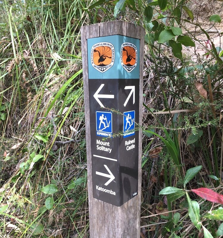
The popular Ruined Castle walk starts at the small Golden Stairs car park on Glenraphael Drive (see map location).
To get to that car park, turn into Glenraphael Drive from Cliff Drive (close to Scenic World) and follow this road for about ten minutes until you get to the Golden Stairs signpost.
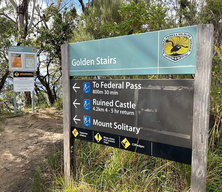
This is the starting point of the Ruined Castle and Mount Solitary Walk. It also connects with the historic Federal Pass, which goes in the other direction to Katoomba and Leura.
Note that Glenraphael Drive is an unsealed road. While this road is in good condition and manageable with 2WD vehicles, we recommend going there with a 4WD car after rainfall.
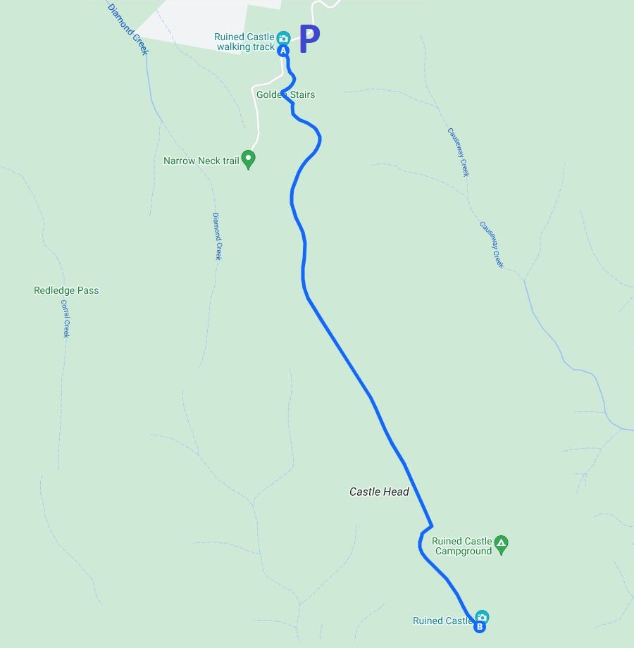
Map
Here is a map of the walk starting from the Golden Stairs and going all the way to the Ruined Castle:
Ruined Castle Track Notes
The Ruined Castle Walk is not a long hike, but it is very steep. The Golden Stairs, particularly, are quite challenging to conquer.
Make sure you bring decent hiking shoes and a full water bottle when doing this hike, especially on a warm day.
Golden Stairs
The Golden Stairs section starts soon after heading into the bush at the signpost. Going down the stairs may not feel as challenging, but you will notice how steep it is.
Going back up on the return trip will feel like an intense workout, so make sure you keep some water for that last stretch of the walk.
Halfway the Golden Stairs is the Botting’s Lookout, which offers panoramic views of Jamison Valley, the Katoomba Landslide, and the Three Sisters.
This lookout was named after Walter Botting, a Blue Mountains City Council Ranger and pioneer track maker in the Katoomba area.
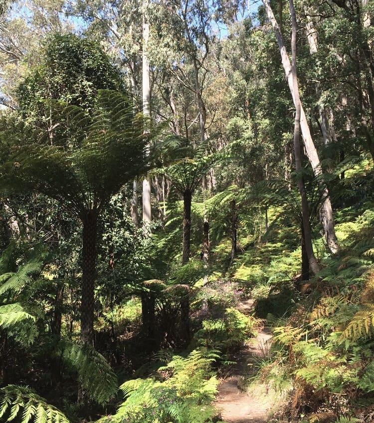
The track quickly descends into the valley, where you will enter a thriving, lush rainforest environment. It’s an absolute delight to hike through this refreshing scenery.
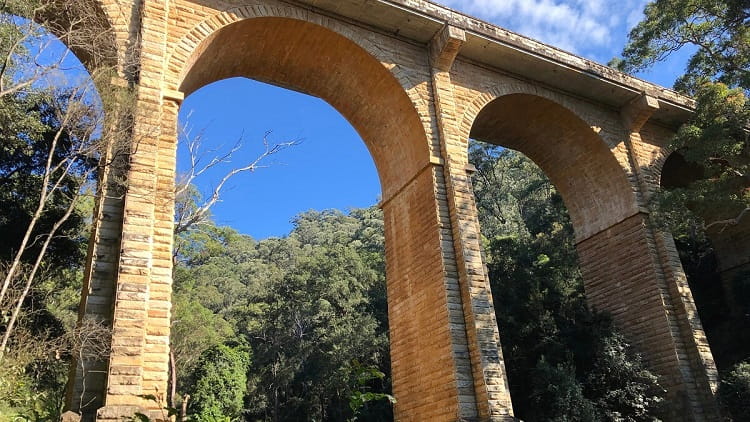
It’s hard to imagine that this section of the track was once part of an old coal mining route going through the Jamison Valley in the 19th century.
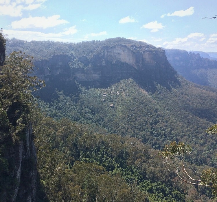
Castle Head
After about an hour of hiking through the rainforest in the valley, turn right at the intersection, going up the hill towards the Ruined Castle.
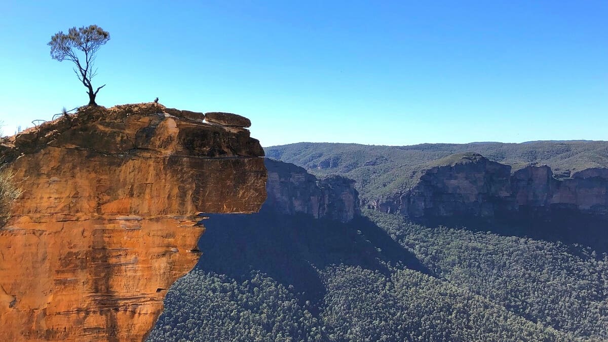
As you get higher up, the majestic sight of Castle Head will appear right behind you.
Castle Head is a headland on the Narrow Neck Peninsula just south of Katoomba. It was named Castle Head because it faces the Ruined Castle.
There is, in fact, a walking track to Castle Head, starting from Narrow Neck, with fantastic views of Ruined Castle and Mount Solitary from a higher point.
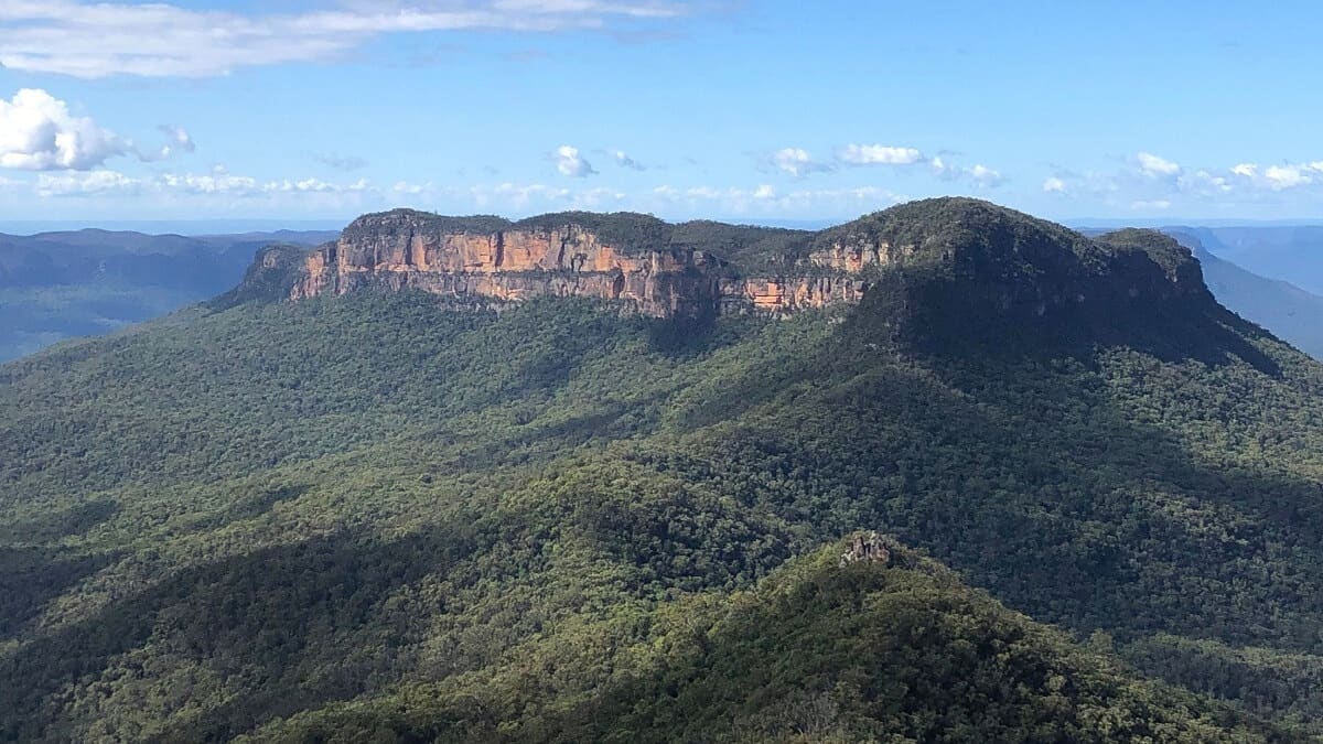
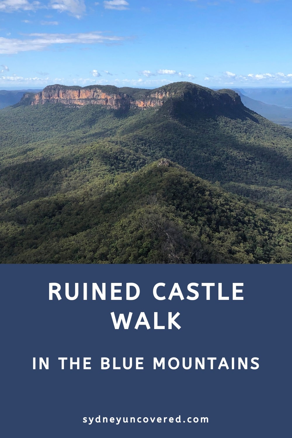
Ruined Castle
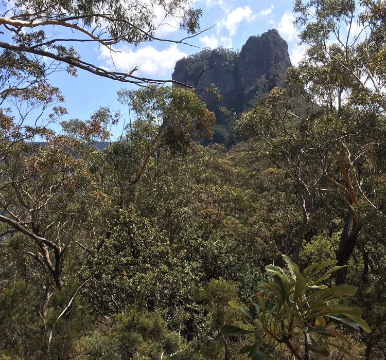
As you get closer to Ruined Castle, you will see several boulders that look like they don’t belong there at all.
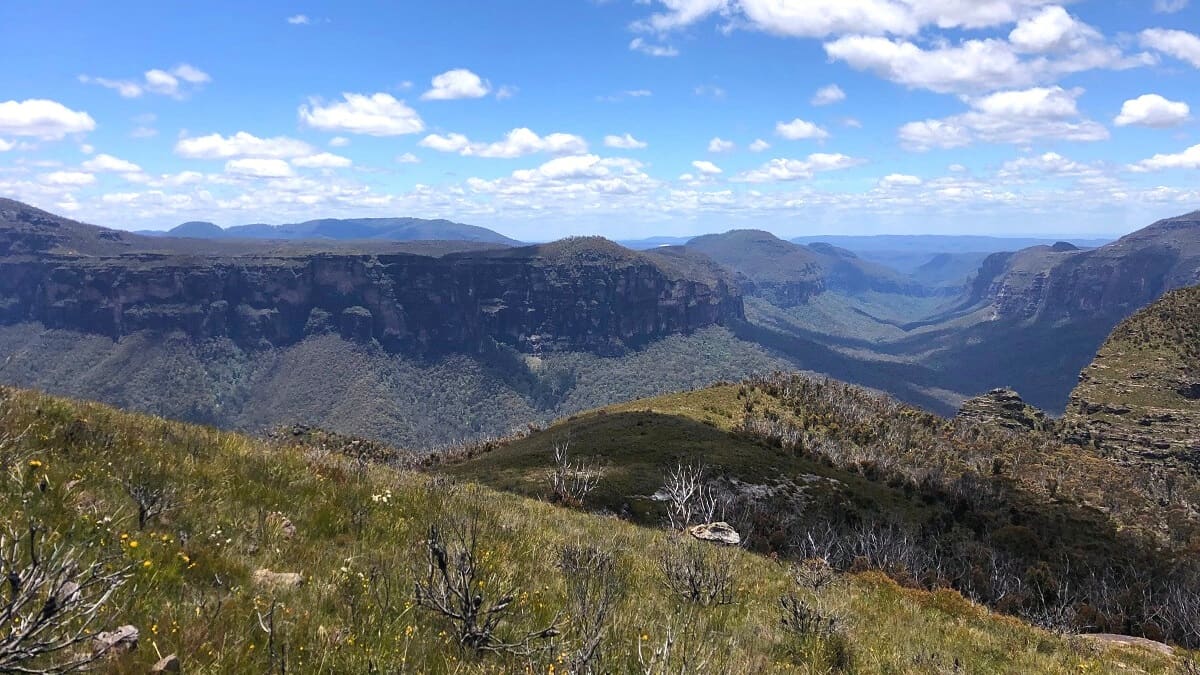
And that’s precisely what makes the Ruined Castle so fascinating. It’s an unusual rock formation in the middle of nowhere, located on top of a ridge between Castle Head and Mount Solitary.
Climbing the Ruined Castle is not for everyone, but the views from up there are certainly worth it.
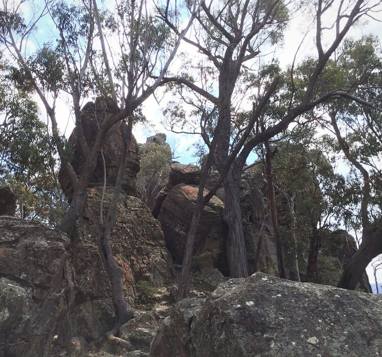
Sitting on top of Ruined Castle, you can get a good feel of the surrounding scenery, with Jamison Valley in the east, Castle Head to the north, and Mount Solitary on the opposite side. It’s a beautiful and somewhat surreal landscape.
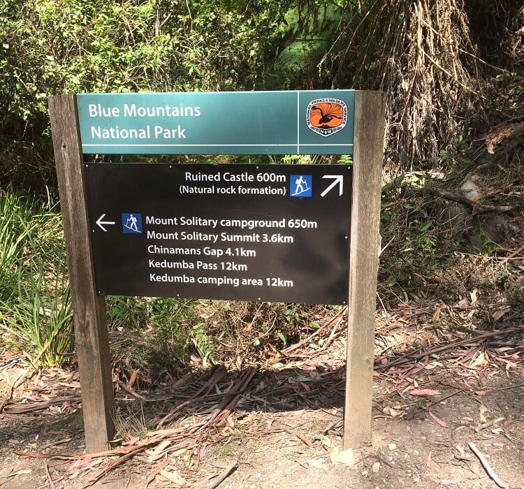
From Ruined Castle, the track continues via two steep sections back to lower grounds in the valley. At the next junction (with Mount Solitary), turn left, heading back towards the Golden Stairs.
But you don’t need to continue hiking around Ruined Castle and do that loop. You can also retrace your steps and return the same way, once you’ve finished exploring the Ruined Castle.
Mount Solitary
If you have extra time, energy, and water, you could also turn right at that intersection, heading to Mount Solitary.
This is a challenging walk that goes all the way to the summit of the mountain, but is only suitable for experienced and prepared bushwalkers.
While the views from the mountain are sensational, this walking track passes through remote areas with sections that are quite hard to navigate.
Many bushwalkers who do the trek to Mount Solitary turn this into a two-day hiking adventure, with an overnight stay on top of the mountains.
Ruined castle walk is hard, but the end is amazing!
Very true! Glad you enjoyed this walking track, Bob.
How hard is the path to follow? Will I need my map and compass, or can I follow an easy to find route. Some sections along the Federal pass have been broken up due to landslides I noticed the other day.
Hi Mark, the path is very easy to follow, no need to bring a map or compass. Have fun!