Last updated: October 5, 2023
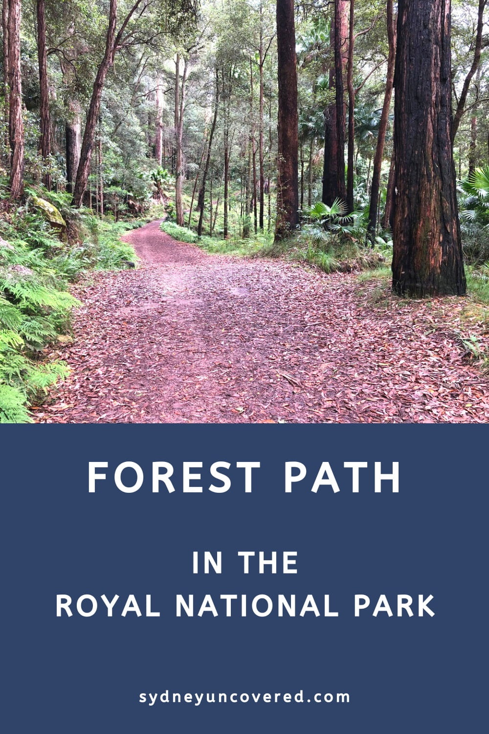
The Forest Path is a pleasant 4.5 km long bush walking trail in the Royal National Park along the shores of the Hacking River, looping around Forest Island.
With start and finish on Sir Bertram Stevens Drive, this relatively easy walking track passes through a patch of scenic rainforest, less than one hour from the city.
Keep reading to find out more about this hike, where best to park your car, and things to do nearby.
| The Forest Path | |
|---|---|
| Distance: | 4.5 km (circuit walk) |
| Duration: | 1.5 – 2 hours |
| Grade: | Easy / moderate |
| Dogs: | Not allowed |
How to Get There
Access the Royal National Park via Waterfall and keep driving on McKell Ave until you arrive at an intersection with Sir Bertram Stevens Drive.
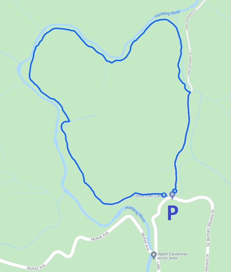
Turn left into Sir Bertram Stevens Drive until you see two small parking areas on both sides of the road. This is where the Forest Path walking track starts and ends (see map location).
The parking area is relatively small, but the track is usually pretty quiet compared to other popular hikes, so you should be able to find a spot to park your car.
Parking in the Royal National Park is $12 per vehicle for the whole day, to be paid at the booth when you access the national park or at one of the ticket machines placed at various locations in the park.
Map
The below map gives you a bit of an idea of where the Forest Path is and where to park your car:
Forest Path Track Notes
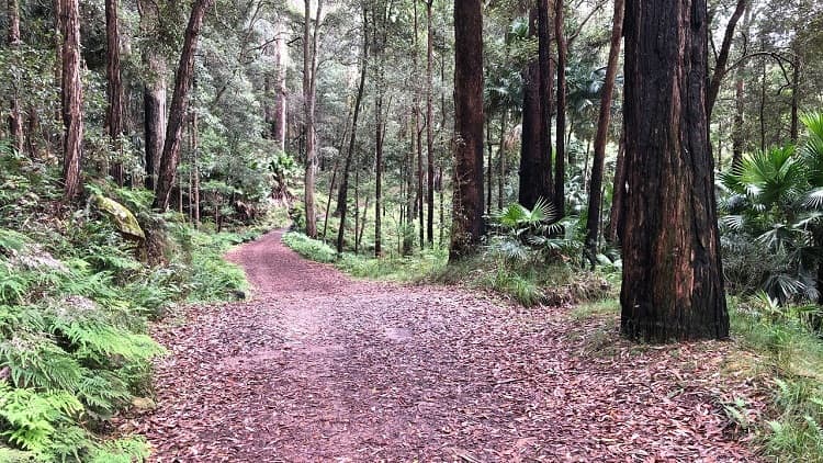
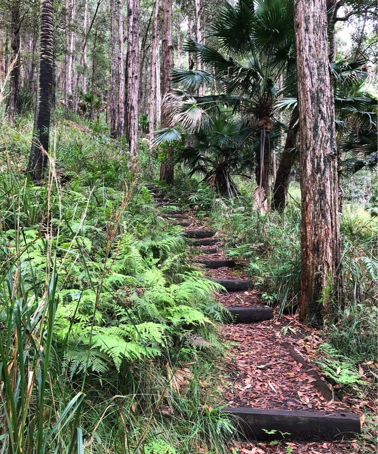
The Forest Path is a family-friendly walk, suitable for all ages and fitness levels. The trail is mostly flat and is very easy to follow.
Since this is a bushwalk, though, it’s always recommended to wear decent hiking shoes for comfort and safety reasons, especially after a period of rain when the track might be a bit muddy.
History
The Forest Path first opened in 1887 to allow for easy access to the forest trees. For decades, the trail was used to accommodate logging in the area.
Public controversy and pressure ultimately led to the ban on logging in the 1920s. Logging only briefly returned during the Second World War, but luckily, the walking track has since only been used for recreational purposes.
Start of the Walk
There are two options to start the Forest Path.
You can either choose the western entrance and go clockwise, or you can start from the eastern entrance and walk in an anti-clockwise manner.
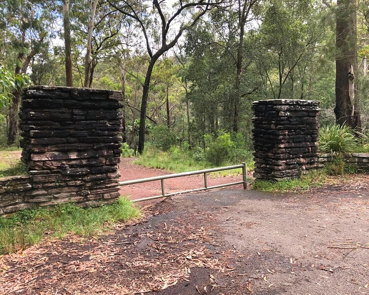
The eastern entrance is also the starting point of the Lady Carrington Drive walking track (see further below for more details).
These two trailheads are only 50m apart, opposite the car parking area. We recommend going anti-clockwise, starting from the eastern entrance.
Bola Creek
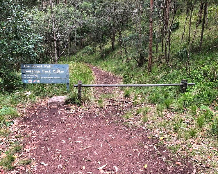
From the eastern entrance, follow the Lady Carrington Drive walking track for around 800 meters or so, until you get to an intersection where you can turn left into the Forest Path.
This is also where the old Bola Creek Rest Area is located.
Don’t expect too much of that though, because it’s really not much more than a somewhat neglected picnic table with benches.
Hacking River
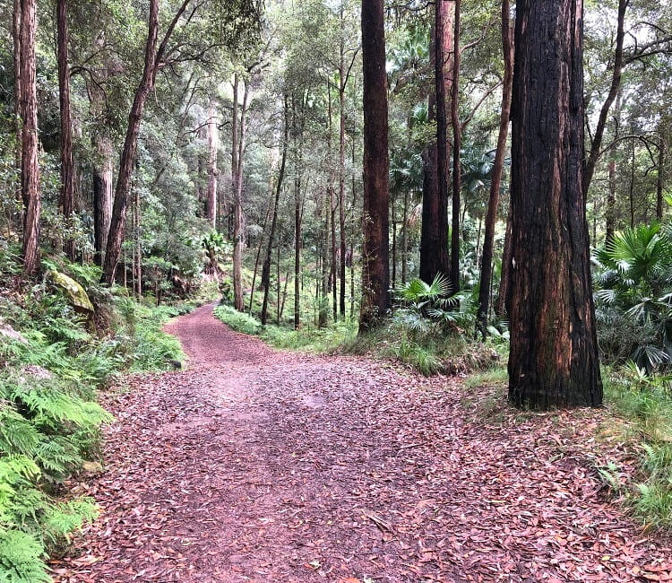
After another couple hundred meters further away, the path veers to the left, where the Bola Creek meets the Hacking River.
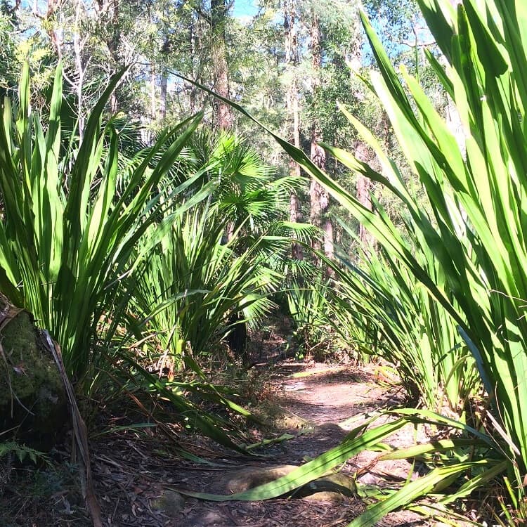
From this point onward, the path follows the Hacking River through a patch of beautiful, thriving rainforest.
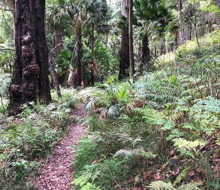
As you continue hiking, look around and enjoy the great variety of native plants and flowers, such as eucalypts, casuarinas, and cabbage tree palms (up to about 25m high).
If you enjoy bird watching, definitely bring your binoculars with you, as there are many different types of birds that thrive in this area.
Be mindful that after a period of heavy rain, the Hacking River rises to higher levels, which can cause the walking path to get very muddy.
Towards the end of the walking trail, the Forest Path arrives at a junction with the Couranga Walking Track, a 5 km long bushwalk that leads to Waterfall train station.
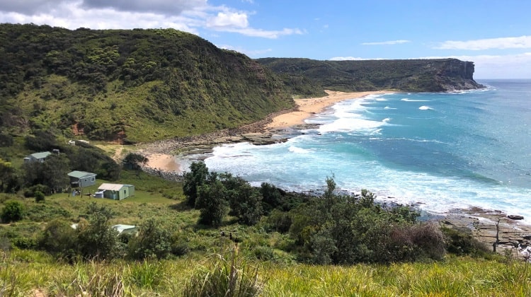
Other Tracks Nearby
There are several other walking tracks nearby, although the Forest Path is the only one that is a loop.
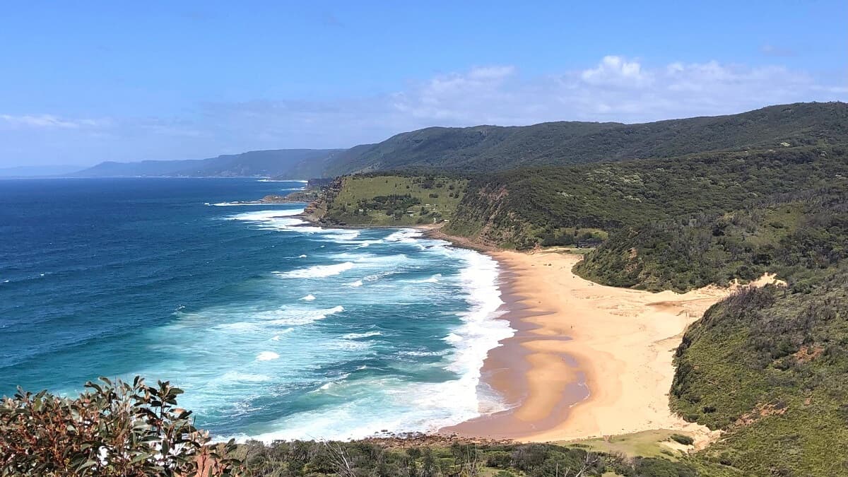
The Palona Cave Walk is a 5 km return walking track that leads to a large cave and a picturesque waterfall. It’s a fairly easy walking trail, but the last section heading to the cave is a bit rough and overgrown in parts.
The Couranga walking track is a 5 km hike between the Forest Path and Waterfall train station. This track is great if you are travelling to the Royal National Park by train so you can walk all the way to the Forest Path from the train station.
Keen to find more walking tracks? Check out our list of best walking tracks in Royal National Park for some great options.