Last updated: April 1, 2024
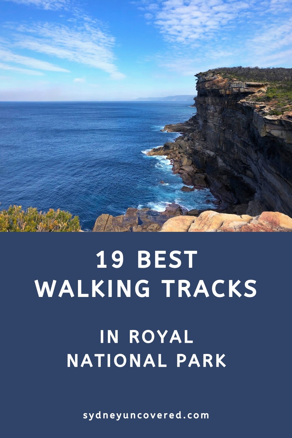
A complete guide to the 19 best walks in Royal National Park, from short and scenic bush trails to challenging half-day coastal hikes.
Located less than an hour away from Sydney, the Royal National Park is one of the most popular and most visited national parks in New South Wales.
From scenic lookout points and pretty waterfalls to beautiful beaches and exciting walking tracks, this 15,000-hectare area has something for everyone.
In this article, we will share the 19 best walking tracks in Royal National Park, ordered by distance from short to long.
Top 19 Royal National Park Walks:
| Walk | Distance | |
|---|---|---|
| 1 | Providential Point Walk | 1 km (return) |
| 2 | Winifred Falls Trail | 2 km (return) |
| 3 | Werrong Beach Track | 4 km (return) |
| 4 | The Forest Path | 4.5 km (circuit) |
| 5 | Garie Beach to Era Beach | 5 km (return) |
| 6 | Karloo Track to Karloo Pools | 5 km (return) |
| 7 | Jibbon Beach Loop Track | 5 km (circuit) |
| 8 | Palona Cave Walk | 5 km (return) |
| 9 | Bundeena to Wedding Cake Rock | 7 km (return) |
| 10 | Wattamolla to Little Marley Beach | 7.5 km (return) |
| 11 | Wattamolla to Eagle Rock | 8 km (return) |
| 12 | Bundeena Drive to Marley Walk | 8 km (return) |
| 13 | Palm Jungle Loop Track | 8.5 km (circuit) |
| 14 | Curra Moors Loop Track | 10 km (part circuit) |
| 15 | Couranga Walking Track | 10 km (return) |
| 16 | Lady Carrington Drive | 10 km (one way) |
| 17 | Waterfall to Heathcote Walking Track | 11 km (one way) |
| 18 | Otford to Figure 8 Pools | 12 km (return) |
| 19 | The Coast Track | 26 km (one way) |
Before heading out to do one of these walks, it’s recommended to check for the latest updates on closed areas within the Royal National Park on the National Parks website.
Top 19 Royal National Park Walks
Ordered from short to long, here is our top 19 best walking tracks in Royal National Park.
You can find the trailhead for each walk by clicking on the map location link underneath each walk description.
1. Providential Point Walk
The walk from the Wattamolla picnic area to Providential Point is a short, family-friendly walking trail to a scenic viewing point.
This trail is around 500 metres one way and is mostly flat and very easy to follow. The path follows the bay in front of Wattamolla Beach to the ocean.
The lookout at Providential Point has a fenced viewing area where you can enjoy scenic views of the ocean and the headland on the opposite side of the bay.
More information: Providential Point Lookout Walk.
| Walk stats: | |
|---|---|
| Distance: | 1 km (return) |
| Duration: | 0.5 hours |
| Grade: | Easy |
| Trailhead: | Map location |
2. Winifred Falls Trail
The Winifred Falls trail is a short bushwalk that leads to a secluded waterfall on the South West Arm Creek.
The first part of the trail is an easy 10-minute flat walk before it turns into a bushwalk with steep sections, surrounded by banksia plants and gum trees.
You can get the best views and photos of the waterfall if you walk a bit further downstream around the pool. There are several rock platforms surrounding the waterfall where you can relax and take in the natural beauty of this idyllic spot in Royal National Park.
More information: Winifred Falls Trail.
| Walk stats: | |
|---|---|
| Distance: | 2 km (return) |
| Duration: | 1 hour |
| Grade: | Easy |
| Trailhead: | Map location |
3. Werrong Beach Track
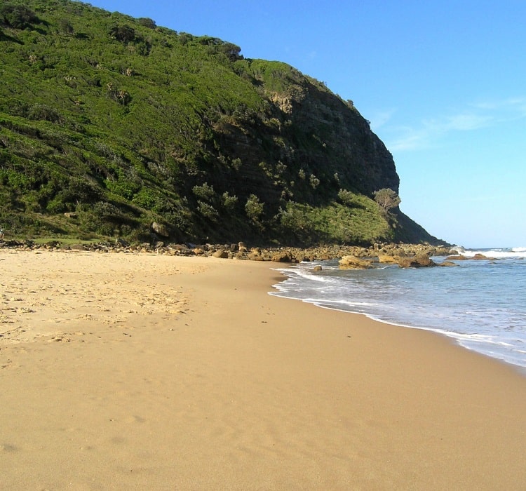
Werrong Beach is a beautiful strip of sand in the southern section of the Royal National Park and is one of Sydney’s designated nude beaches.
But nude swimming and sunbathing are not the only reasons to hike to this isolated spot in the national park. The beach itself and the scenery on the way there are beautiful.
The Werrong Beach Track is a challenging and steep 4 km return hike that starts at the Otford Lookout, and then soon makes a right turn into the bush and heading down to the beach.
More information: Werrong Beach Track.
| Walk stats: | |
|---|---|
| Distance: | 4 km (return) |
| Duration: | 2 hours |
| Grade: | Moderate / hard |
| Trailhead: | Map location |
4. The Forest Path
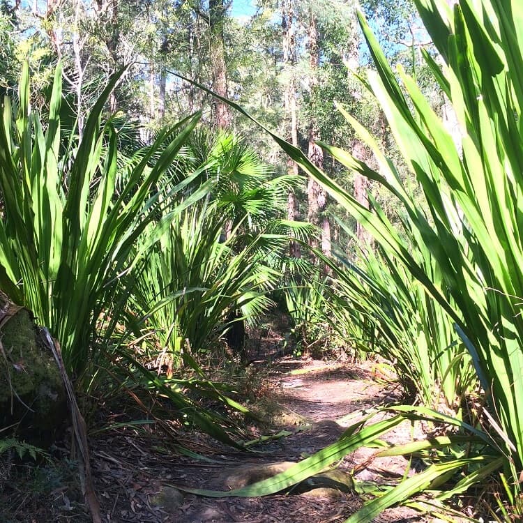
The Forest Path is a pleasant 4.5 km bushwalk along the Hacking River in the Royal National Park that loops around Forest Island.
With start and finish on Sir Bertram Stevens Drive, this relatively easy walking track guides hikers through a beautiful rainforest environment.
The Forest Path opened in 1887 to accommodate logging in the area. Public controversy and pressure ultimately led to the ban on logging in the 1920s.
Apart from a short period during the Second World War, the walking track has since been used for recreational purposes only.
More information: The Forest Path.
| Walk stats: | |
|---|---|
| Distance: | 4.5 km (circuit) |
| Duration: | 1.5 hours |
| Grade: | Easy |
| Trailhead: | Map location |
5. Garie Beach to Era Beach
One of the prettiest coastal tracks in the Royal National Park is the 5 km return hike from Garie Beach to Era Beach.
This walking track takes in four beautiful beaches and a couple of steep climbs leading to vantage points with incredible views of the coastline of the national park.
Garie Beach has its own car park, and from there, the hike starts along a walking trail just behind the beach, heading towards Little Garie Beach.
From there, a challenging climb up Thelma Head leads to a vantage point where you can absorb incredible views of the two Garie beaches on one side and the two Era beaches on the other.
More information: Garie Beach to Era Beach.
| Walk stats: | |
|---|---|
| Distance: | 5 km (return) |
| Duration: | 2 hours |
| Grade: | Easy / moderate |
| Trailhead: | Map location |
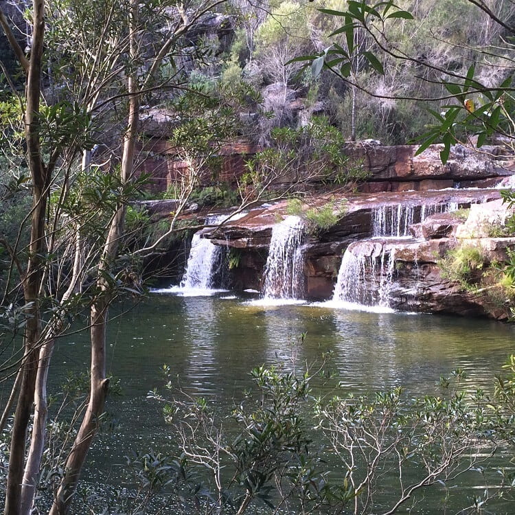
6. Karloo Track to Karloo Pools
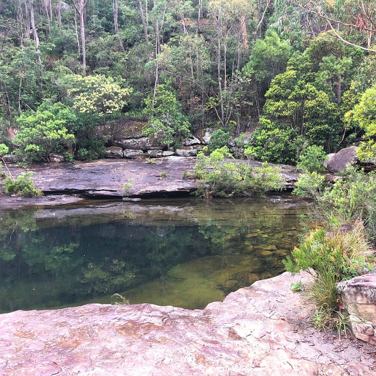
With the starting point next to Heathcote train station, the 5 km return walk to Karloo Pools is one of Royal National Park’s most popular walking tracks.
And for good reason, because Karloo Pools is one of the best and most beautiful natural swimming holes in the Greater Sydney area.
If you’d like to continue hiking after visiting Karloo Pools, the Karloo Track continues to Uloola Falls, a small yet pretty waterfall located an extra 2.5 km further into the bush.
Uloola Falls is not as pretty as Karloo Pools, but the track is quite enjoyable. So, if you do have the time and energy, it’s highly recommended that you visit both of these spots.
More information: Karloo Track to Karloo Pools.
| Walk stats: | |
|---|---|
| Distance: | 5 km (return) |
| Duration: | 2 hours |
| Grade: | Moderate |
| Trailhead: | Map location |
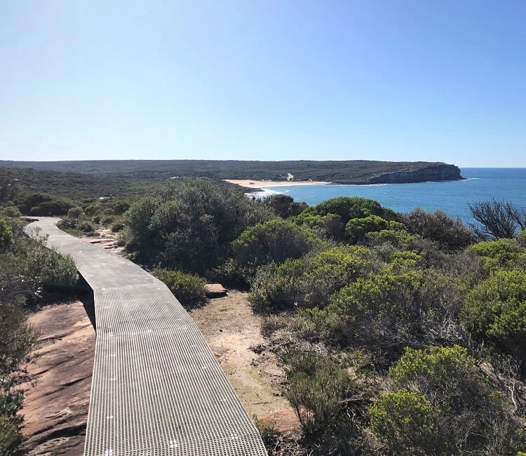
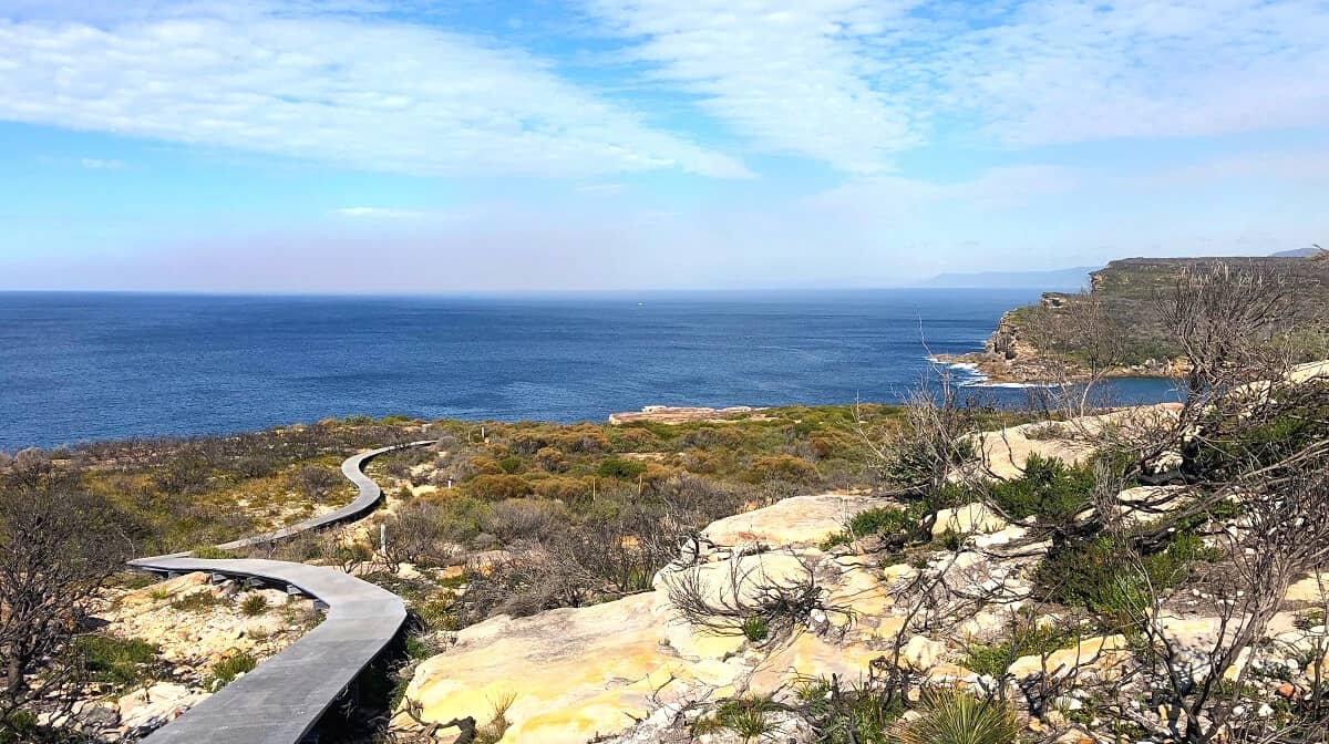
7. Jibbon Beach Loop Track
Starting at the Bundeena ferry wharf, the Jibbon Beach loop track is an easy coastal and bush trail past Jibbon Head, Port Hacking Point, and Shelley Beach.
This walking track not only offers some pretty fantastic ocean views but also well-preserved Aboriginal engravings to discover.
One of the highlights is a modern boardwalk with a viewing platform from where you can have a closer look at those engravings.
Dating back 2,000 years, The Jibbon engravings are an impressive display of respect the Tharawal people had for the land.
More information: Jibbon Beach Loop Track.
| Walk stats: | |
|---|---|
| Distance: | 5 km (circuit) |
| Duration: | 2 hours |
| Grade: | Easy |
| Trailhead: | Map location |
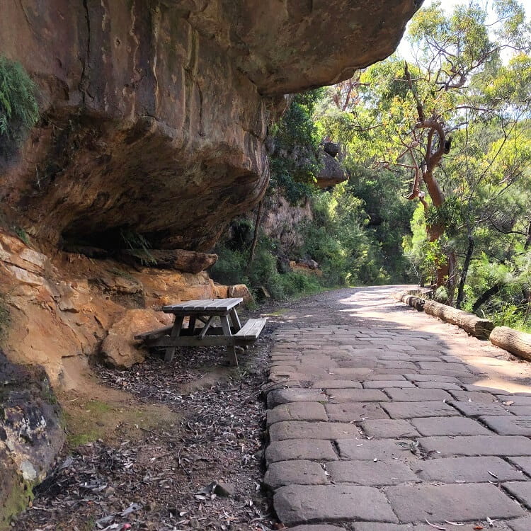
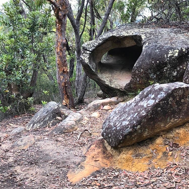
8. Palona Cave Walk
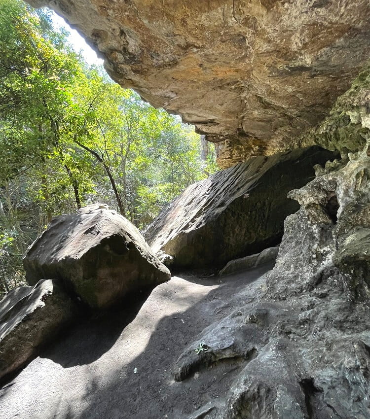
The Palona Cave Walk is a relatively easy walking trail that leads to an impressive limestone cave hidden in a thriving forest landscape.
Like the Forest Path, the starting point of the Palona Cave Walk is on Sir Bertram Stevens Drive. The first section is a pleasant forest walk along Lady Carrington Drive, and the second part is on a narrow bush trail leading to the cave.
To make this walking trail even more exciting, there is also a small cascading waterfall near Palona Cave. However, depending on rainfall, the waterfall may not always be there.
More information: Palona Cave Walk.
| Walk stats: | |
|---|---|
| Distance: | 5 km (return) |
| Duration: | 2 hours |
| Grade: | Easy / moderate |
| Trailhead: | Map location |
9. Bundeena to Wedding Cake Rock
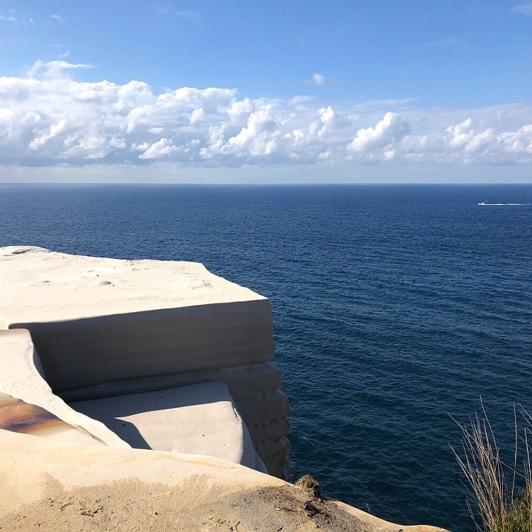
Wedding Cake Rock is a unique landmark in Royal National Park, and although it is now fenced off, it is still a beautiful natural sight to visit.
A scenic coastal walk, starting from Beachcomber Avenue in Bundeena, leads to this landmark with various other sights to explore, such as The Balconies and The Waterrun.
The 7 km return walk is one of Sydney’s most enjoyable coastal walks, with beautiful ocean and cliff views to enjoy from start to finish.
More information: Bundeena to Wedding Cake Rock.
| Walk stats: | |
|---|---|
| Distance: | 7 km (return) |
| Duration: | 2 hours |
| Grade: | Easy / moderate |
| Trailhead: | Map location |
10. Wattamolla to Little Marley Beach
The 7.5 km return walking trail to Little Marley Beach from Wattamolla is both a bushwalking track as well as a coastal walk.
This enjoyable walking trail starts behind the Wattamolla waterfall at the northern end of the picnic area.
After less than 1 km of hiking through a patch of dense vegetation, the trail arrives at Wattamolla Dam, with a beautiful swimming hole, perfect for a quick swim on a warm summer’s day.
The second half of this walk is along the coast on top of the cliffs, from where you can enjoy panoramic coastal views, before arriving at Little Marley Beach.
More information: Wattamolla to Little Marley Beach.
| Walk stats: | |
|---|---|
| Distance: | 7.5 km (return) |
| Duration: | 2 hours |
| Grade: | Easy / moderate |
| Trailhead: | Map location |
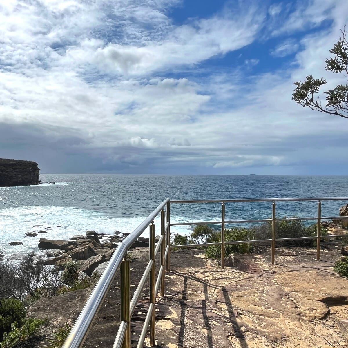
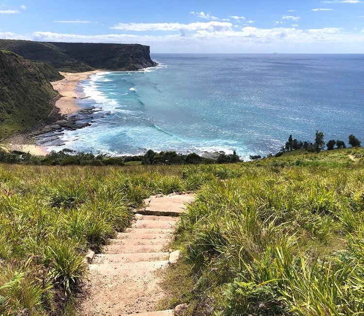
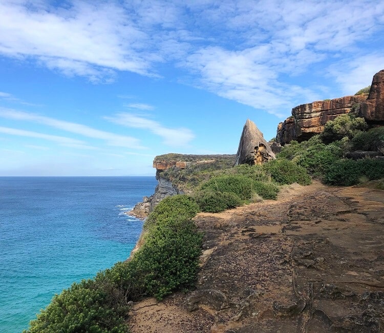
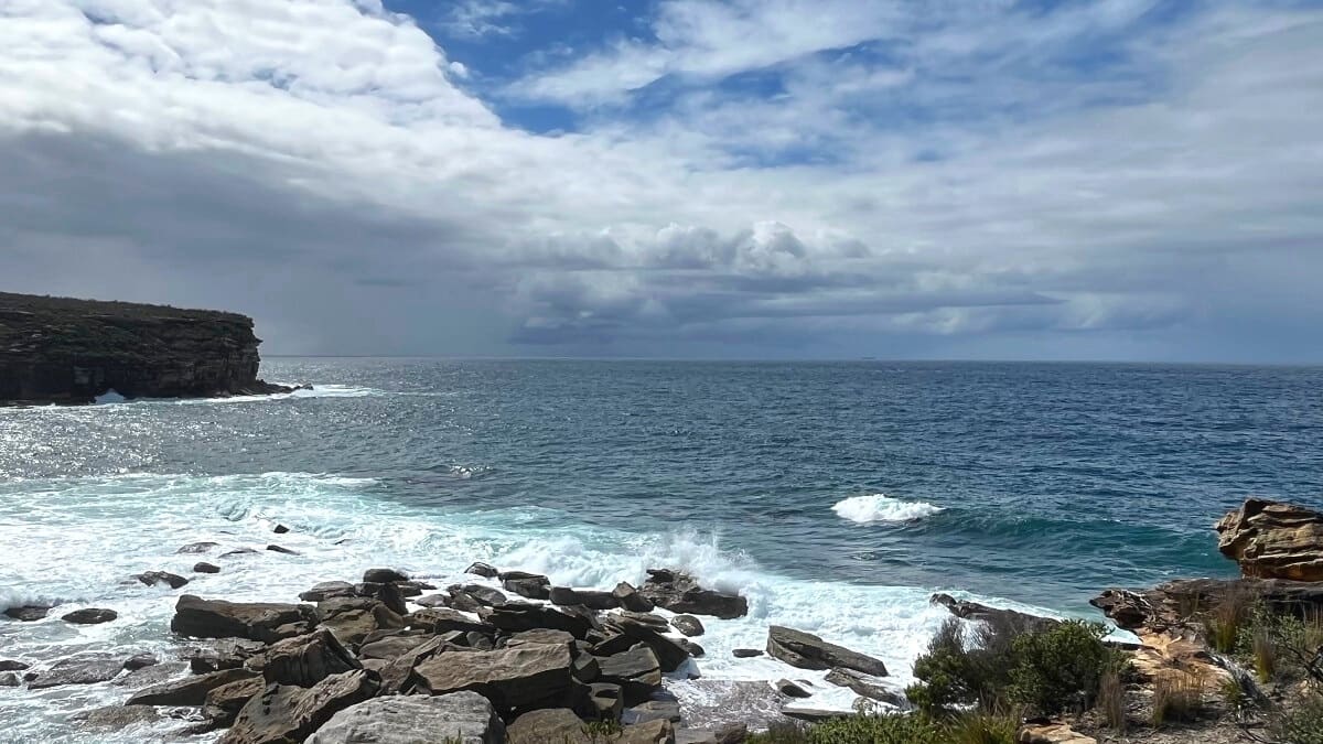
11. Wattamolla to Eagle Rock
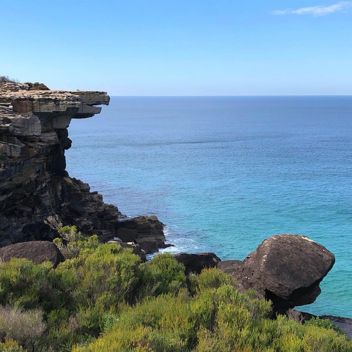
A scenic coastal walk starting at Wattamolla leads to Eagle Rock, one of the most iconic landmarks in the Royal National Park that resembles an eagle’s beak.
What’s more, next to Eagle Rock is Curracurrong Falls, one of the few waterfalls in the world that flows directly into the ocean.
When the winds are strong, the water from Curracurrong Falls can often be seen being pushed back up, which is a spectacular sight.
For the best views of the waterfall and Eagle Rock, look for the trail that leads down towards a rock overhang, a great spot to settle in for a picnic.
More information: Wattamolla to Eagle Rock.
| Walk stats: | |
|---|---|
| Distance: | 8 km (return) |
| Duration: | 3 hours |
| Grade: | Easy / moderate |
| Trailhead: | Map location |
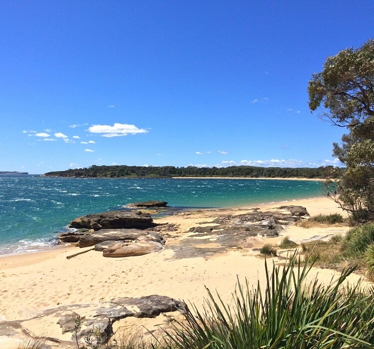
12. Bundeena Drive to Marley Walk
Also known as the Marley Track, the 8 km return trail between Bundeena Drive and Marley Beach is an enjoyable bushwalk that leads to two beautiful beaches, passing through scenic bushland.
One of the highlights of this track is a small cascade waterfall that drops into a pool known as Deer Pool. When the deer population in the Royal National Park was much higher, this pool was a popular spot for them to drink.
Towards the end of the walk, you can choose between two beaches. Marley Beach in the north is a 360-metre long, southeast-facing beach with bright yellow sand, protected by a large area of dunes.
Little Marley Beach, further south, is quite similar but is much smaller. Please be mindful, though, that those two beaches are not patrolled, and swimming can be hazardous.
More information: Bundeena Drive to Marley Walk.
| Walk stats: | |
|---|---|
| Distance: | 8 km (return) |
| Duration: | 3 hours |
| Grade: | Moderate |
| Trailhead: | Map location |
13. Palm Jungle Loop Track
Starting from the Garawarra Farm car park in the southern part of the Royal National Park, the Palm Jungle Loop Track is a challenging 8.5 km circuit trail.
This enjoyable hike includes beautiful cliff tops, secluded beaches, lush rainforest, and scenic coastal views.
Located roughly halfway through the walking track, Palm Jungle is a section of cooler rainforest with an abundance of cabbage tree palms and other tropical plants.
You can include the popular Figure 8 Pools in this walk by doing a detour from Burning Palms beach. Please check the tides beforehand if you plan to visit the pools.
More information: Palm Jungle Loop Track.
| Walk stats: | |
|---|---|
| Distance: | 8.5 km (circuit) |
| Duration: | 3 hours |
| Grade: | Moderate |
| Trailhead: | Map location |
14. Curra Moors Loop Track
The Curra Moors Loop Track is a partial circuit walking trail that offers a good mix of bush and coastal walking.
The walk starts from Sir Bertram Stevens Drive and passes through a landscape of heath and low tree vegetation before connecting with the Coast Track close to Eagle Rock and Curracurrong Falls.
This walking track is approximately 10 km long and is reasonably challenging. It’s a part circuit, with the first 1.7 km going through bushland before it meets an intersection where you can either go clockwise or anti-clockwise.
At the other end of the circuit trail, you can make a short side trip to visit Eagle Rock and Curracurrong Falls.
More information: Curra Moors Loop Track.
| Walk stats: | |
|---|---|
| Distance: | 10 km (part circuit) |
| Duration: | 3 hours |
| Grade: | Moderate |
| Trailhead: | Map location |
15. Couranga Walking Track
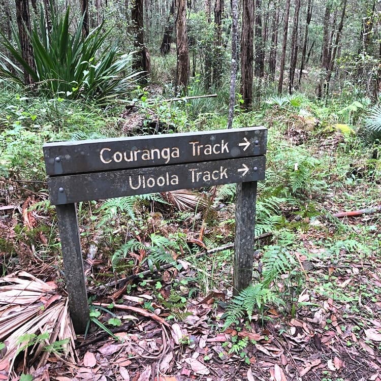
The Couranga Walking Track is a pleasant 10 km return walk starting from Waterfall train station and ending at McKell Avenue.
This walk is perfect for those looking to spend a few hours in a forest and heath landscape, with various birdwatching and picnic spots along the way.
Given that this walking track starts from Waterfall station, this might be a good opportunity to leave the car at home and use public transport to travel to this part of the Royal National Park.
The Couranga Walking Track links up with the Forest Path towards the end, so you can extend this hiking adventure if you have the time and energy.
| Walk stats: | |
|---|---|
| Distance: | 10 km (return) |
| Duration: | 3 hours |
| Grade: | Moderate |
| Trailhead: | Map location |
16. Lady Carrington Drive
The Lady Carrington Drive is a historic cycling and hiking trail from Audley through to the southern precinct of the Royal National Park.
It’s a relatively easy walking track that isn’t so much about any noteworthy highlights but more so about the picturesque forest surroundings from start to finish.
You can start the Lady Carrington Drive either from the Audley side in the north or from the Sir Bertram Stevens Drive side in the south.
Also note that you don’t necessarily need to complete the whole track. The Lady Carrington Drive is a nice opportunity to simply go for a walk in scenic surroundings, and you can go as far as you wish.
More information: Lady Carrington Drive.
| Walk stats: | |
|---|---|
| Distance: | 10 km |
| Duration: | 3 hours |
| Grade: | Easy |
| Trailhead: | Map location |
17. Waterfall to Heathcote Walking Track
The bushwalk between Waterfall and Heathcote combines the Karloo Track and the Uloola Track, with several highlights to discover, such as Karloo Pools and Uloola Falls.
What’s great about this walking track is that there is a train station at both ends of the walk, so you can use the train to travel back to your starting point.
This walking track is an alternative way to visit both Karloo Pools and Uloola Falls, if the Karloo Track (see number 6) is perhaps a bit too short.
You can start this walk either from Waterfall or from Heathcote, but if you want to save the highlights for the second section of the walk, it’s best to start in Waterfall.
| Walk stats: | |
|---|---|
| Distance: | 11 km (one way) |
| Duration: | 4 hours |
| Grade: | Moderate / hard |
| Trailhead: | Map location |
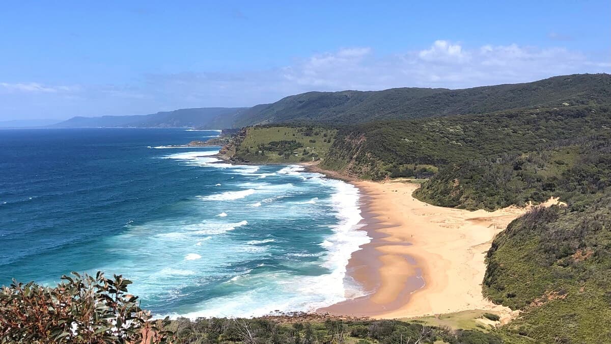
18. Otford to Figure 8 Pools
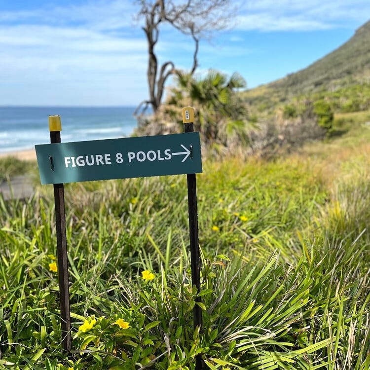
This hike has become more popular in recent times with all the hype around the Figure 8 Pools. While the pools are a great sight, the walking track from Otford Station to the pools via Burning Palms Beach is also very enjoyable.
To access the Figure 8 Pools, you will need to do an extra section from Burning Palms Beach. It’s a great addition to an already great walking track, but it does get a bit steep and rocky.
Before you leave, check the tides; otherwise, you may not even see the Figure 8 Pools by the time you get there, let alone swim in them. The tides will need to be low and without any dangerous swells.
If you’re short on time and want to get to Figure 8 Pools quicker, you can also park your car at Garawarra Farm Carpark, which is closer to the pools than Otford is.
More information: Otford to Figure 8 Pools.
| Walk stats: | |
|---|---|
| Distance: | 12 km (return) |
| Duration: | 5-6 hours |
| Grade: | Hard |
| Trailhead: | Map location |
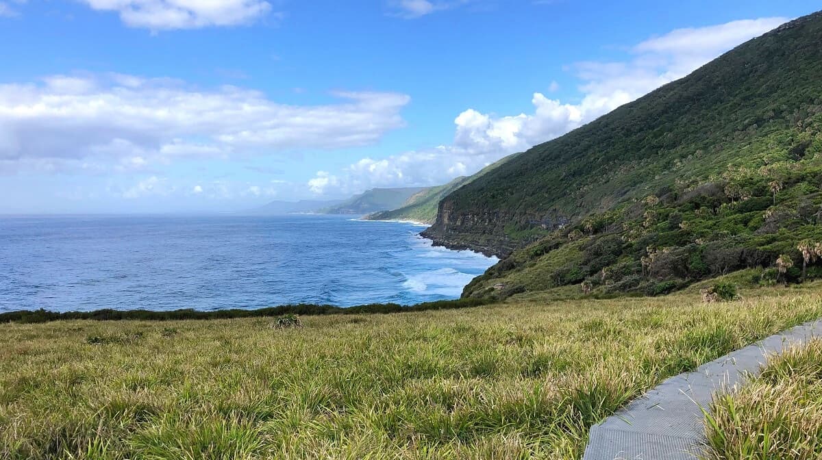
19. The Coast Track
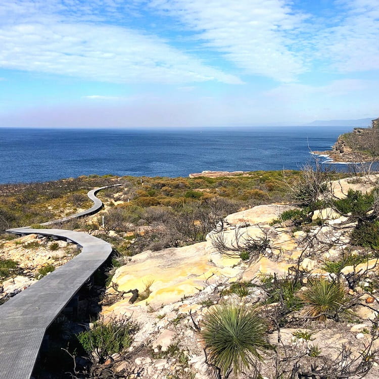
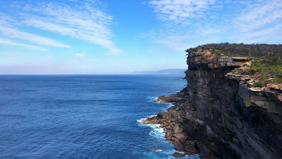
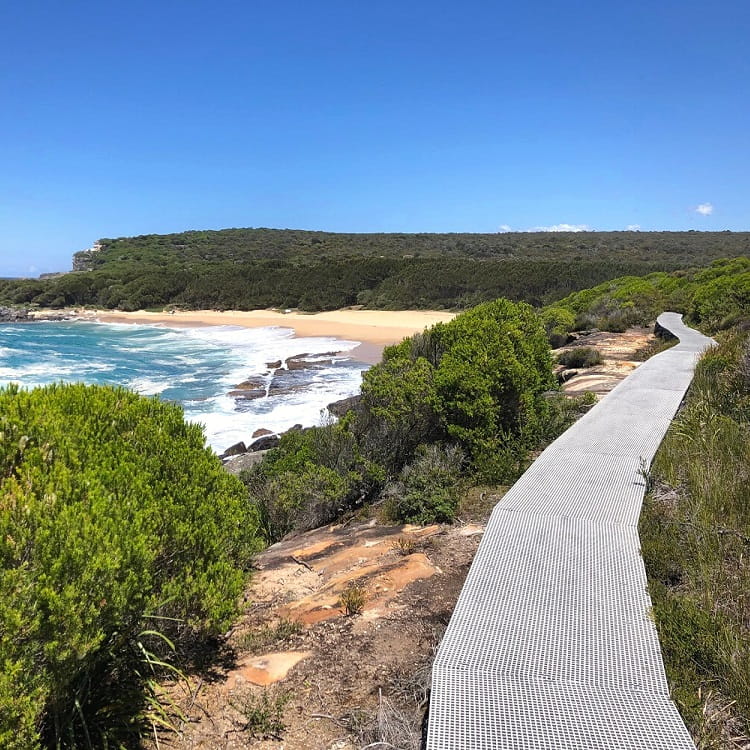
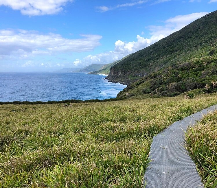
One of the most iconic walking tracks in Sydney and New South Wales is the 26 km long Coast Track between Bundeena in the north and Otford in the south of the Royal National Park.
Bushland, secluded beaches, boardwalks, high cliffs, waterfalls, and natural water holes, this challenging hike is a true adventure that you should try to complete at least once in your life.
Whilst it’s certainly possible to do this track in one day, some people prefer to turn this into a two-day hiking adventure with overnight camping at North Era.
More information: The Coast Track.
| Walk stats: | |
|---|---|
| Distance: | 26 km (one way) |
| Duration: | 1 or 2 days |
| Grade: | Hard |
| Trailhead: | Map location |
Take the historic ferry to Bundeena to access the coastal walk.
That’s right, thanks Nic. And with a train station in Otford, the Coastal Track is very easily manageable with public transport.
Besides the North Era campground, where else is it ok to camp? And do we need to book?
Cheers, Kate.
Hi Kate,
Uloola Falls is another campground in the Royal National Park. Both North Era and Uloola require bookings at the moment.