Last updated: April 3, 2024
Dargan Arch, or Dargans Arch, is a natural sandstone rock formation that is shaped like an arch. It is located in a quiet area of the Blue Mountains near the town of Bell.
A short walk leads to this beautiful spot, where visitors have the opportunity to walk across the top of the arch as well as venture down to the bottom.
In this article, we will explain where to park your car and how to find this unique rock formation in the Blue Mountains.
| Dargan Arch Walk | |
|---|---|
| Distance: | 1.5 km (return) |
| Duration: | 1.5 hours (including exploring) |
| Grade: | Easy / moderate (some rock scrambling) |
How to Get There
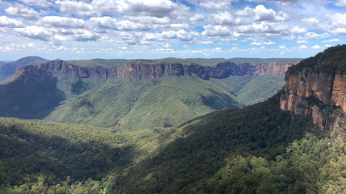
Dargan Arch is located near the town of Bell at the end of Bells Line of Road, an area of the Blue Mountains that is not very busy.
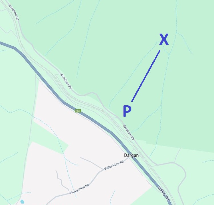
To get there, turn into Sandham Road near the Bells Line of Road and Darling Causeway junction. Stay on that road for approximately 3 km until you see a clearing on your right, just after the curve in the road.
That clearing is where you can park your car. Note that Sandham Road is mostly unsealed, but it is in good enough condition for 2WD vehicles.
Map
The below map shows where the parking area (P) and the arch (X) are located. For the exact locations on Google Maps, click on the following links:
Dargan Arch Track Notes
The 1.5 km return walking track to Dargan Arch is relatively easy, but the track is not signposted, and there is no fencing at the arch.
The trail to get there is easy, but care must be taken when walking across the arch and venturing down to the bottom. Wearing good hiking shoes is essential.
Start of the Walk
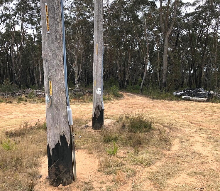
Once you’ve parked your car at the clearing area, head into the bush and follow the path that goes slightly downhill.
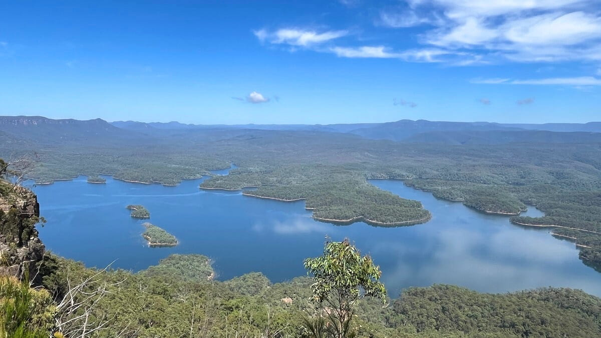
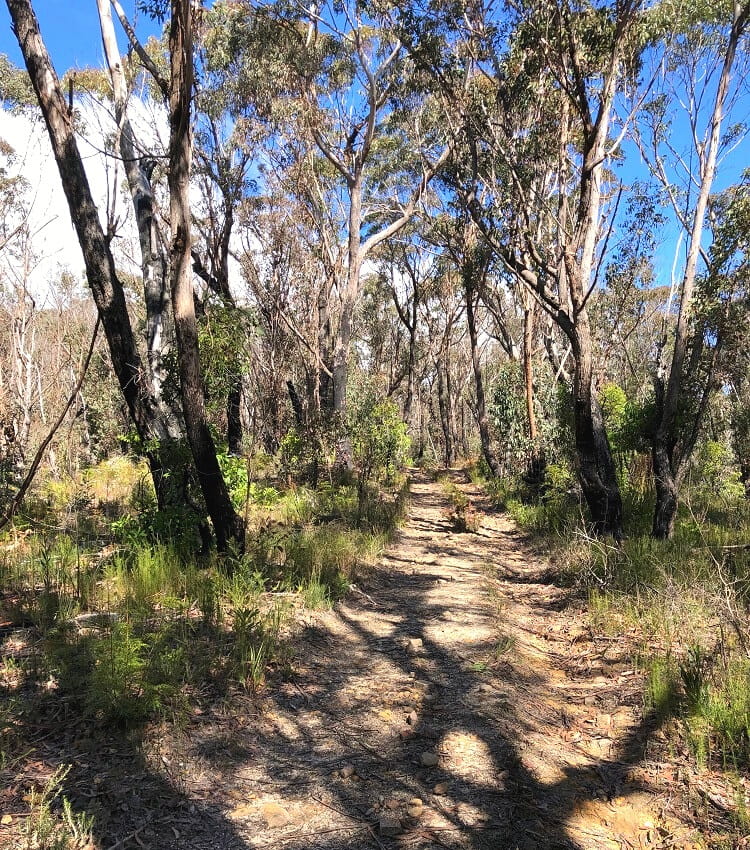
The path continues for approximately 500 metres on an easy-to-navigate fire trail through bushland scenery.
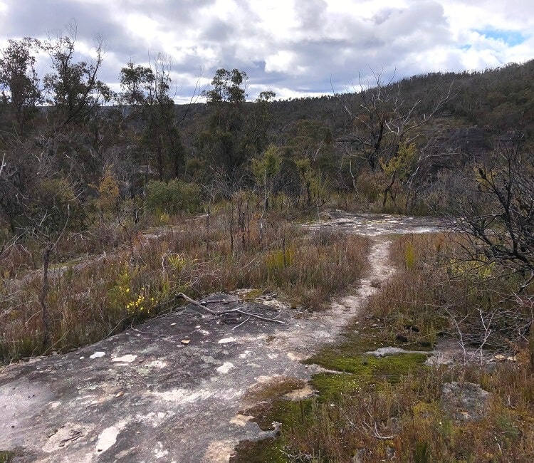
Towards the end of this fire trail, things can get a little confusing when an open rocky area appears without a clear walking path.
Keep going straight ahead, and you will soon see the top of Dargan Arch appearing right in front of you.
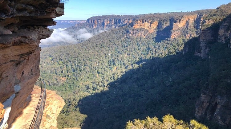
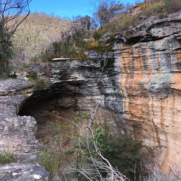
Dargan Arch
When you first see the top of the arch and the large hole next to it, you might not feel too invited to walk across it.
But as you get closer, you will see that the top is actually quite wide and flat, with plenty of space for several people to move around.
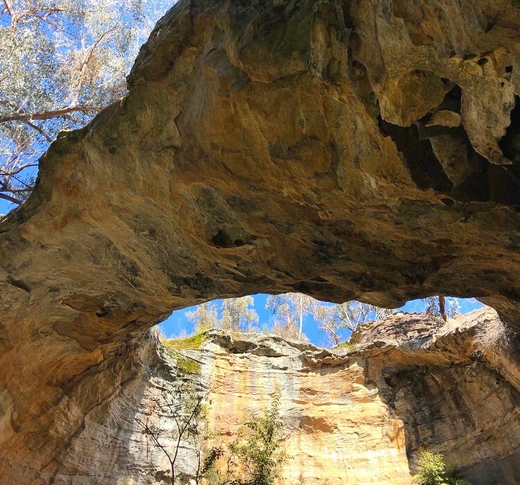
The more challenging part is the walk (or scramble) to the bottom of the arch. But it’s certainly worth the effort because the views from below are the best.
Walk to the Bottom
After crossing the arch, keep walking straight ahead, and you will notice an area where you can relatively safely scramble down the rocks to a path below.
It may look steep and scary, but in our experience, it’s pretty easy to maintain a grip on the rocky surface as you make your way down.
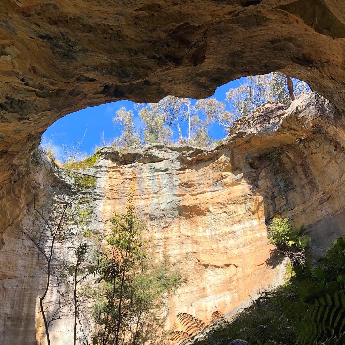
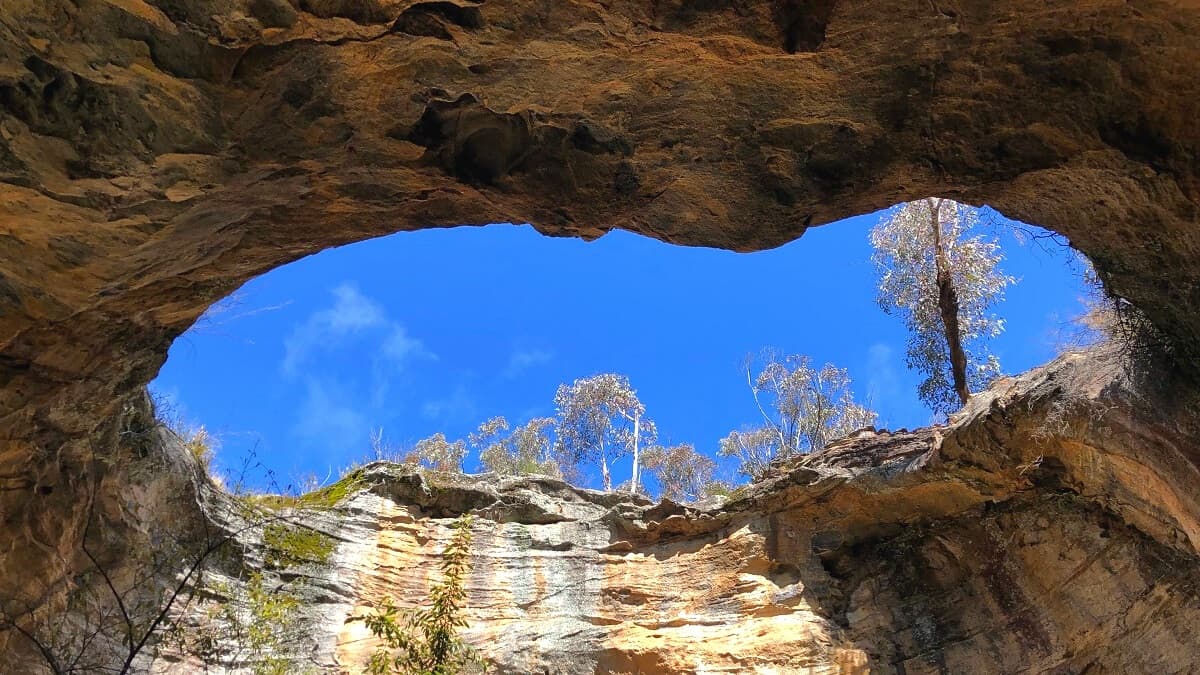
Once you’ve made it onto that small path, make your way to the bottom of the arch, where you can take in the fantastic views of this rock formation.
There is a small hill underneath the arch that you can climb up to for more great views but from a different angle.
The story goes that this rock formation was once a large cave, and the arch was created when the roof collapsed.
Once you’ve finished admiring this incredible sight, retrace your steps back to the top via the same path.
And once you’re back on higher ground, simply follow the walking track back to the car parking area.