Last updated: March 6, 2024
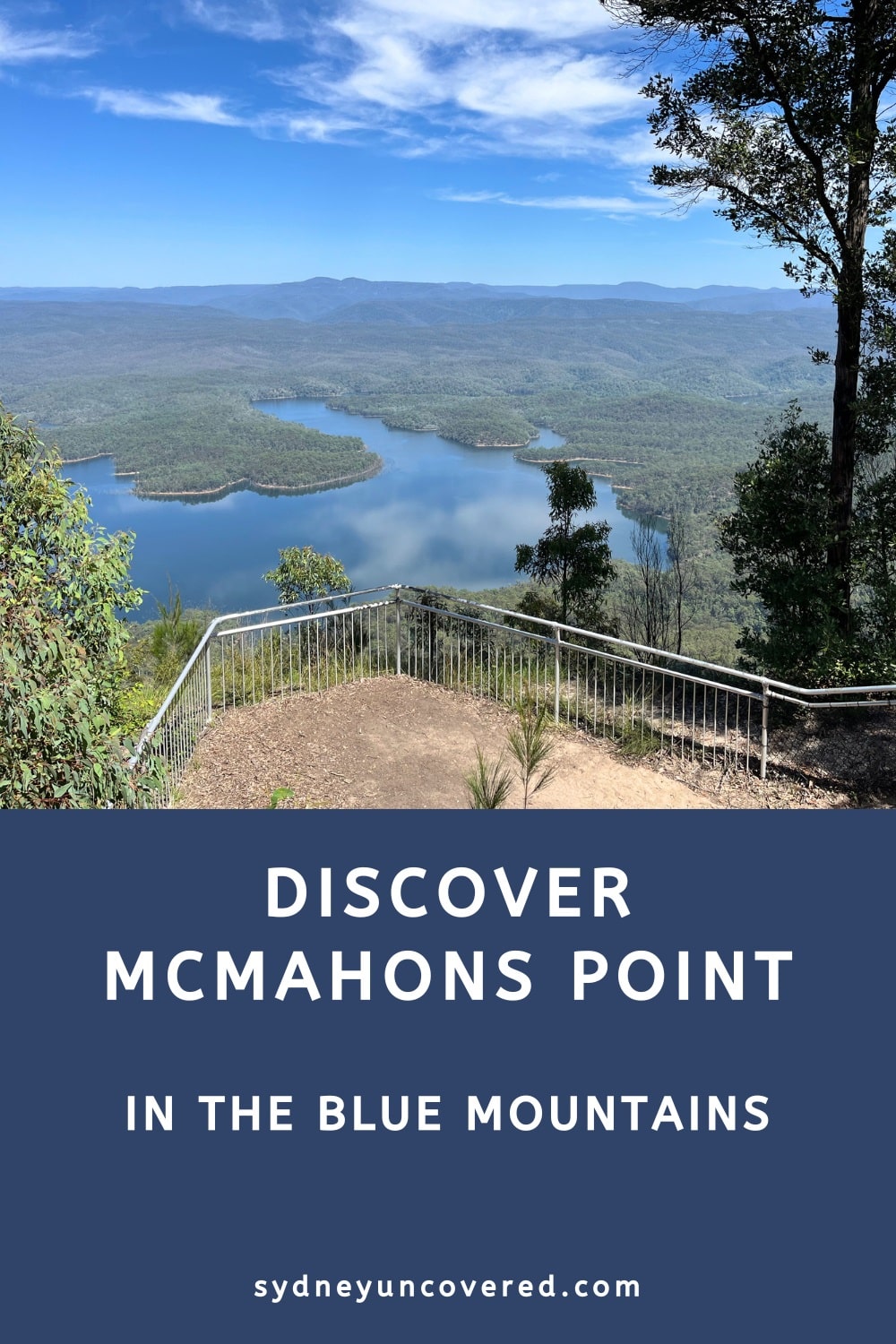
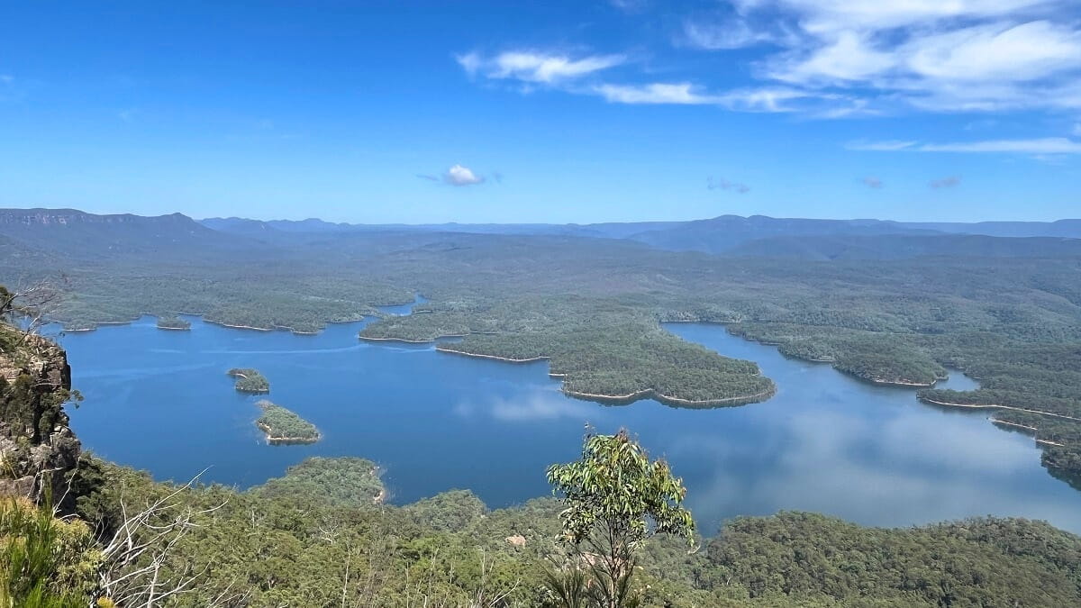
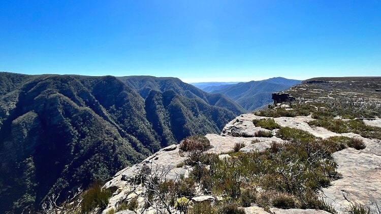
McMahons Point Lookout is a scenic vantage point south of Wentworth Falls that offers panoramic views of Lake Burragorang and the surrounding area.
This remote spot is accessible via Kings Tableland Road, a 20 km long unsealed road that is also a popular cycle trail.
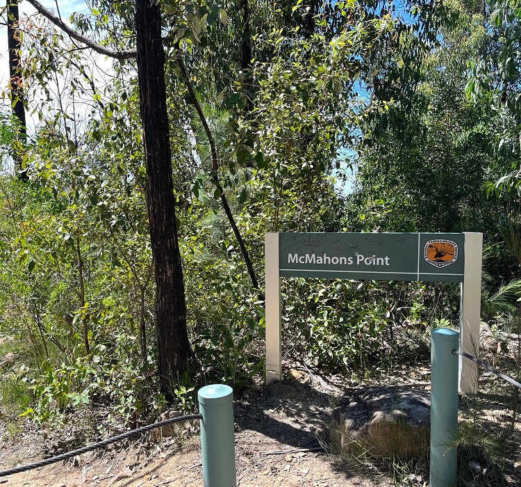
Once at McMahon’s Point, follow the short bushwalking trail to the lookout and enjoy some of the best views in this remote area of the Blue Mountains.
Watch this short video of McMahon’s Point:
How to Get There
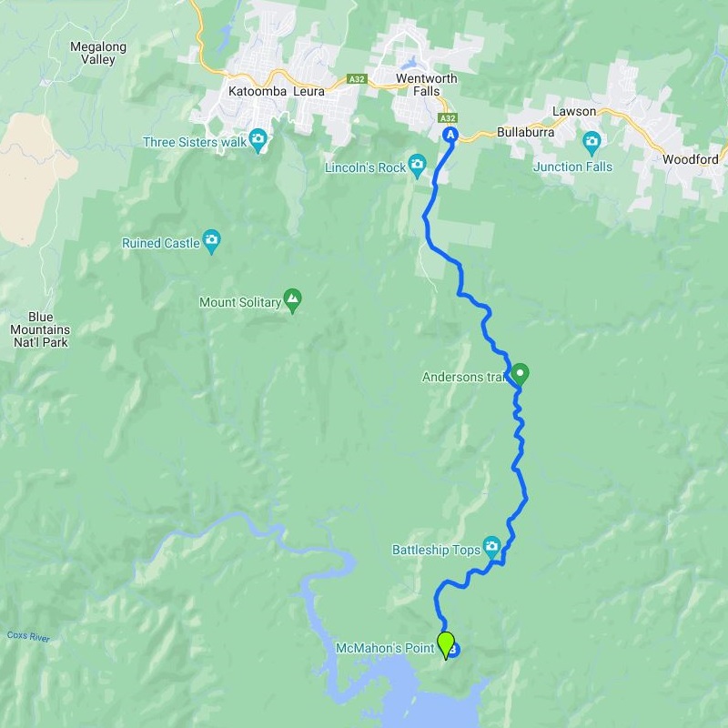
McMahon’s Point is the southernmost point of the Kings Tableland plateau, approximately 20 km from the old hospital (Queen Victoria) in Wentworth Falls and 24 km from the Great Western Highway.
To get there, turn into Tableland Road from the highway, and from the old hospital building, follow Kings Tableland Road to McMahon’s Point.
Kings Tableland Road is unsealed but in good condition. A 4WD vehicle is recommended, especially after rainfall, but not strictly necessary.
Map
Here is a map of the drive from the Great Western Highway to McMahons Point to give you an idea of how remote it is:
McMahons Point
A small car park awaits at the end of Kings Tableland Road. Should that be at capacity when you arrive, simply park a bit further up the road.
McMahons Point offers two major lookouts, accessible via two different walking tracks. The main lookout, referred to as McMahon’s Point Lookout, is accessible via an 800m long walk.
The second (unnamed) lookout is accessible via a much shorter walking trail. We recommend doing both but start with the main lookout, which offers slightly better views.
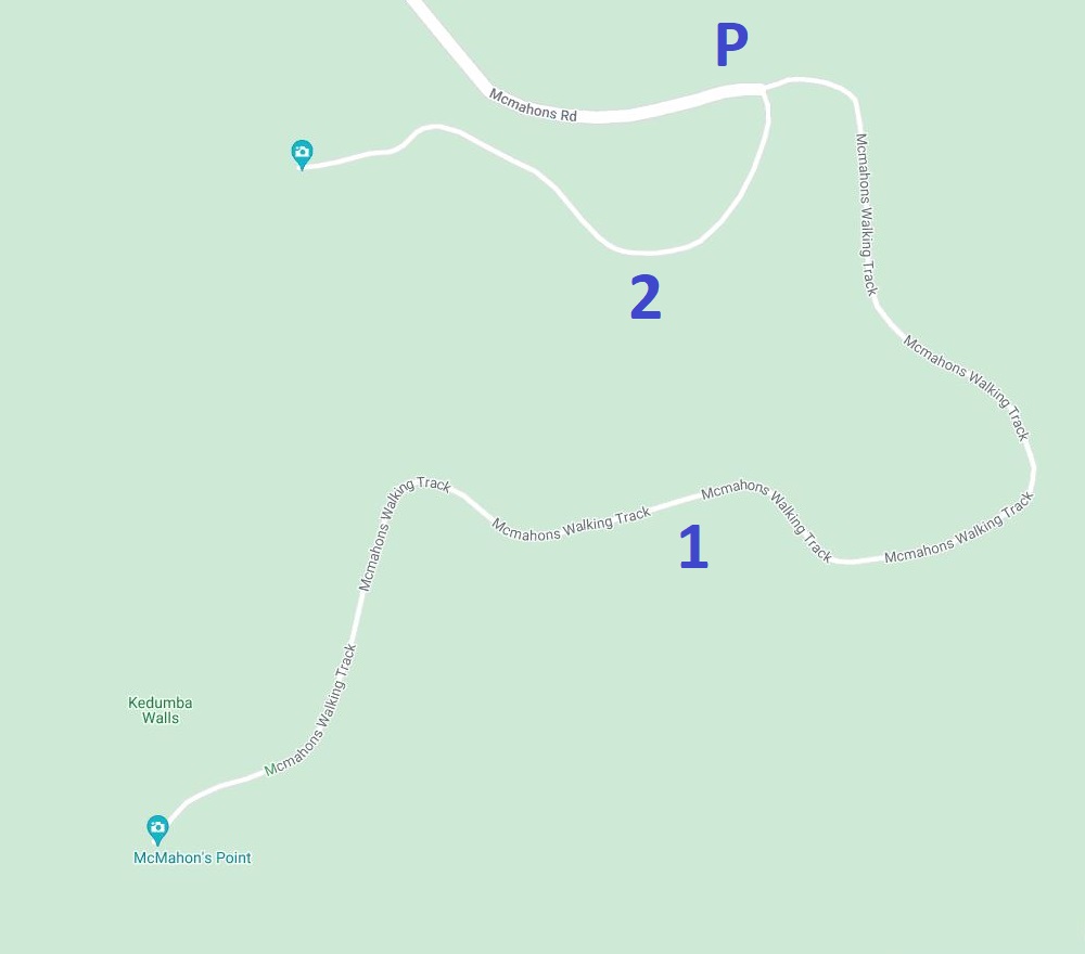
The map below shows the parking area and the two walking tracks:
- McMahons Point walking track (800 metres one way)
- Unnamed walking track (300 metres one way)
1. McMahons Point Walking Track
The McMahons Point Walking Track is a pleasant bushwalking trail from the carpark leading directly to the main lookout.
It’s a fairly easy walking trail, but there is a mild descent/ascent, and the trail is a bit overgrown in some places.
McMahons Point Lookout is fenced and offers far-stretching views of Lake Burragorang and the surrounding mountains.
Right behind the lookout is an elevated area that is worth climbing onto for even better district views.
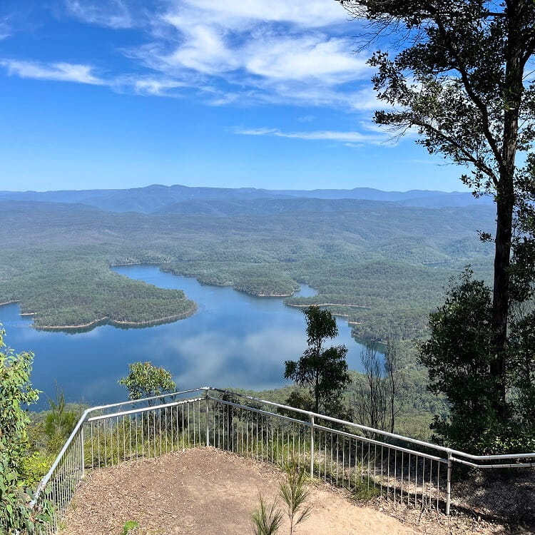
When standing at the lookout and admiring the views, it’s challenging to recognise any of the well-known landmarks in the Blue Mountains.
For some perspective, the Katoomba area is to your right, and the Kanangra area is to your left. Between Katoomba and Kanangra, behind the lake, is a large area of Blue Mountains wilderness.
2. Walking Track to Second Lookout
The second walking track is with 300 metres much shorter (and easier) than the main walking track, so it’s worth doing while you’re there.
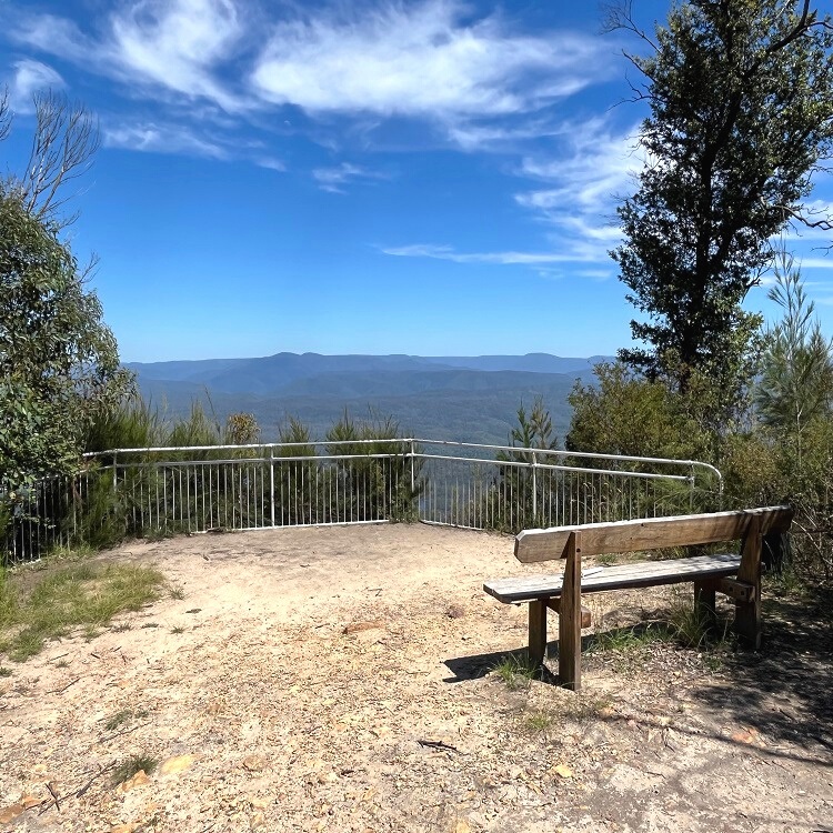
That walking track also starts from the car park and is very easy to access and navigate, without any climbing required.
The views from the fenced lookout are similar to those from the main lookout, but the angle is slightly different.
About Lake Burragorang
Lake Burragorang was created as a result of the damming of the Warragamba River in the 1950s. The heritage-listed Warragamba Dam is one of the largest domestic water supply dams in the world, and Lake Burragorang is Sydney’s largest water catchment area.
Read our Warragamba Dam article to learn more about the history behind the dam and the enormous lake that it created. Warragamba Dam is a nice day trip from Sydney.
In addition to McMahon’s Point, there is another official lookout point to visit for beautiful views of Lake Burragorang. Read our Burragorang Lookout article for more information about, and photos of, this beautiful vantage point.
Lincoln’s Rock Lookout in Wentworth Falls.
