Last updated: May 28, 2023
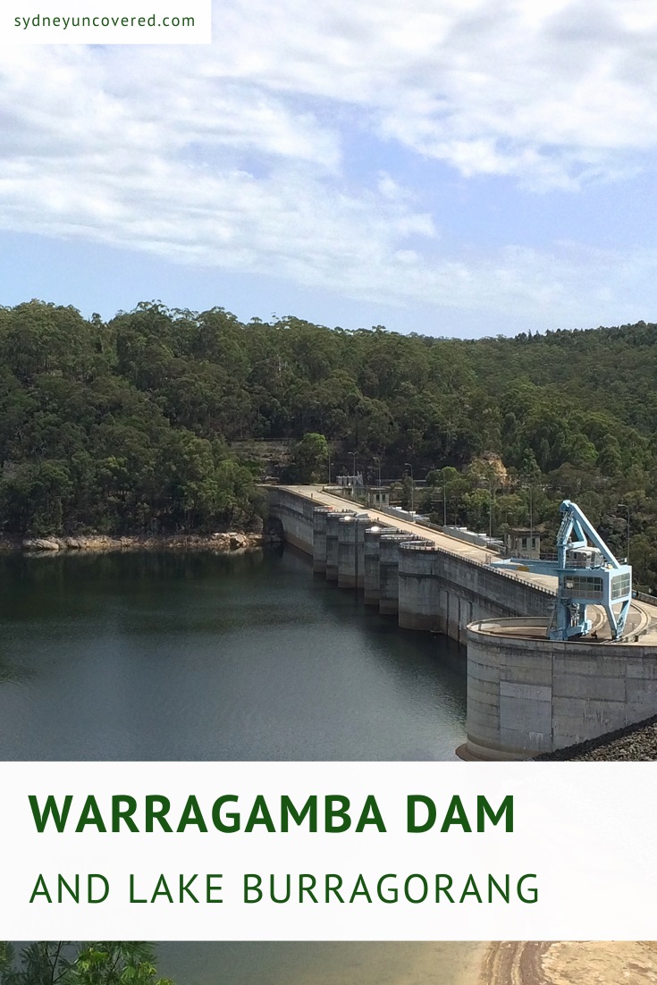
Warragamba Dam is Australia’s largest concrete dam and is responsible for the creation of Lake Burragorang, Sydney’s primary reservoir for water supply.
Visiting the dam’s visitor centre and the various lookout points is a great opportunity to discover the fascinating history and significance of the dam.
Keep reading, and learn more about the history behind Warragamba Dam and how you can make the most of your visit.
How to Get There
Warragamba Dam is relatively easy to get to, with good signposting on the roads.
From the M4 Motorway, turn left into the Northern Road (A9), heading towards Wallacia. Turn into Kingshill Road and follow the signs to Warragamba Dam.
If you’re driving in from the south, from the Northern Road, turn into Willmington Road, followed by Park Road, and follow the signs.
There are two large parking areas close to the visitor centre where you can try and find a spot to park your car.
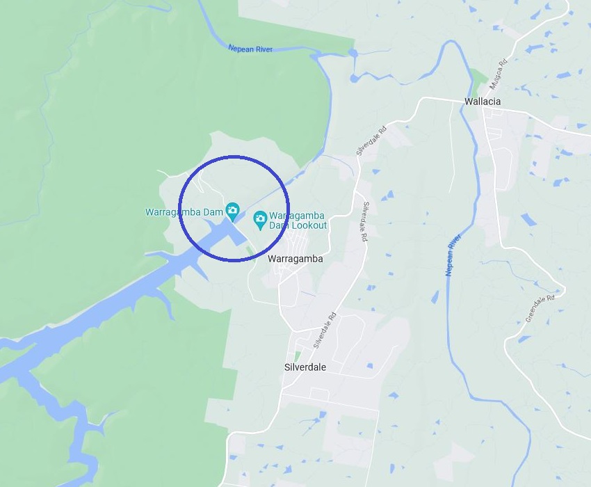
Official address:
1 Production Avenue, Warragamba NSW 2752 (see map location).
About Warragamba Dam
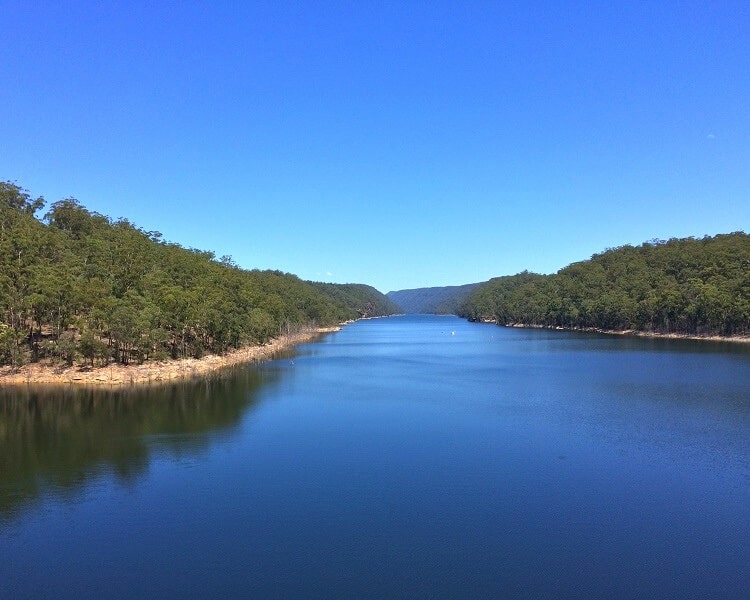
Warragamba Dam is currently one of the largest domestic water supply dams in the world. What’s even more fascinating is that Lake Burragorang, formed by the dam, is four times larger than Sydney Harbour.
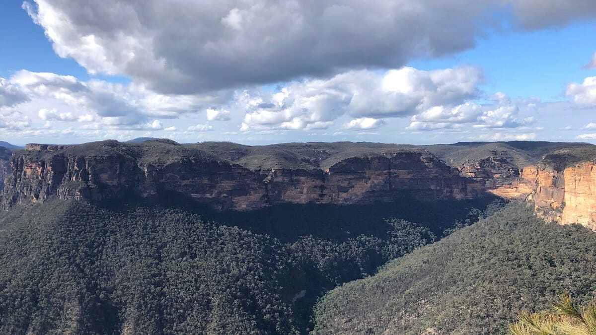
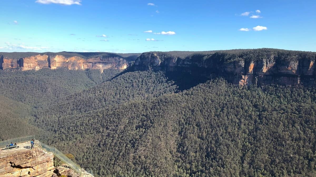
If you have extra time to spare after visiting the dam, drive south to the Burragorang Lookout for the best views of the lake.
The dam has created a reservoir capacity of more than 2,000 gigalitres of water, with the surface area of the lake covering 75 square kilometres.
Construction of this engineering masterpiece started in 1948 and was finally completed in 1960.
Three million tonnes of concrete were used to create a barrier in the Warragamba River, which would ultimately create the enormous Lake Burragorang, now Sydney’s largest water supply.
The Sydney Catchment Authority took over control of the Warragamba Dam in 1999 to supply clean water to the Sydney Metro, Blue Mountains and Southern Highlands areas of New South Wales. It is now managed by Water NSW.
The grounds of the dam were closed for ten years for major dam upgrades and reopened to the public in 2009 with a brand new visitor centre and an auxiliary spillway to manage extreme flood events.
| Warragamba Dam in numbers | |
|---|---|
| Height: | 142 metres |
| Width: | 351 metres |
| Thickness base: | 104 metres |
| Thickness top: | 8.5 metres |
The Workforce
Almost 2000 people from more than 25 countries worked seven days a week to build Warragamba Dam. The Warragamba township was a village built specifically to house workers and their families during construction.
There was a strong sense of community in Warragamba, with regular pub and dance nights and English classes for immigrants organised.
A memorial was unveiled in 2012, dedicated to the 15 men who lost their lives while working on the construction of the dam.
Warragamba Dam Visitor Centre
Warragamba Dam has an excellent visitor centre where you can find lots of information about the dam, how it works, how it was built, and much more.
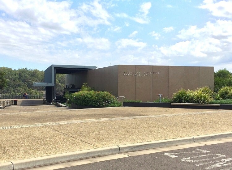
The Visitor Centre is open daily from 10 am to 4 pm (closed on Christmas Day and Good Friday). The dam grounds are open daily from 8 am to 5 pm (6 pm on weekends and public holidays during daylight saving time).
The first thing you will notice when you arrive at the visitor centre are the two enormous green valves. These valves were manufactured in England and installed at the dam in 1958.
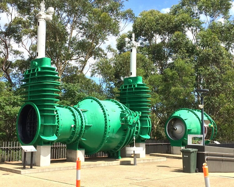
They were used to turn water flowing through pipes on and off. The old valves were replaced by more efficient, German-engineered butterfly valves in 2005.
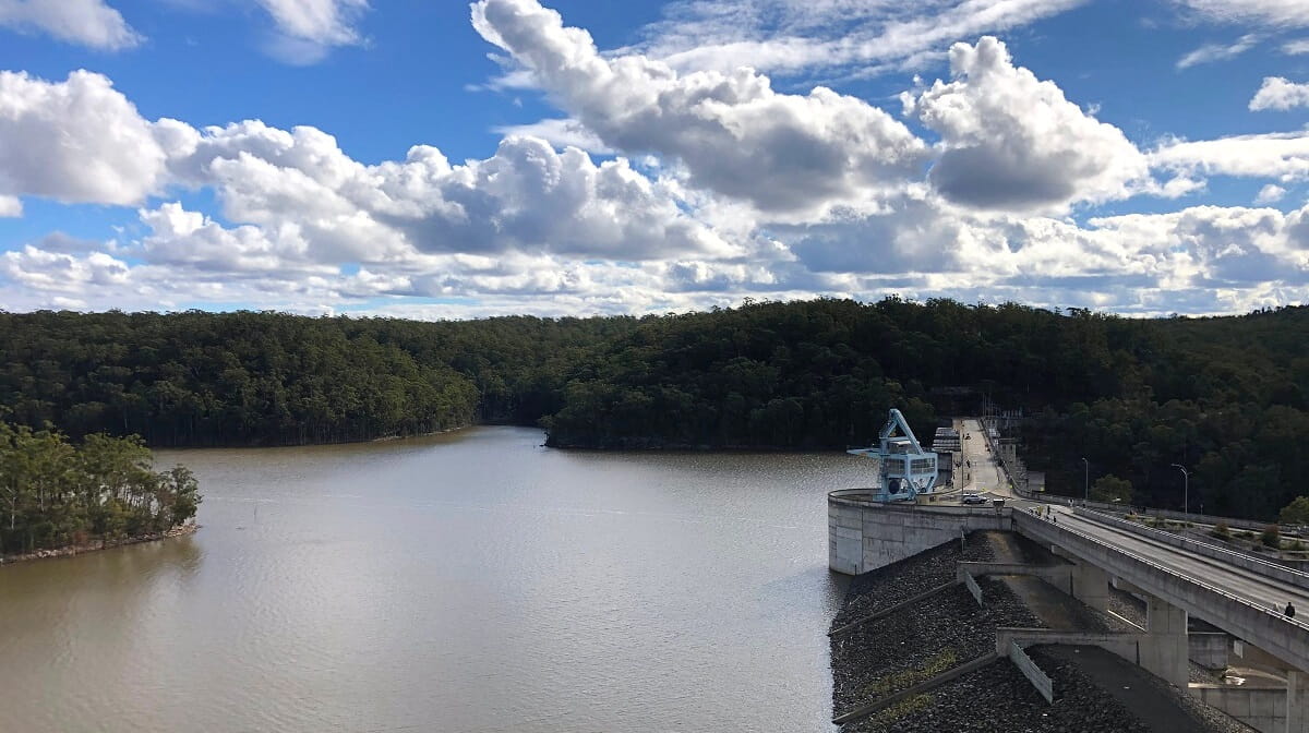
Lookout Points
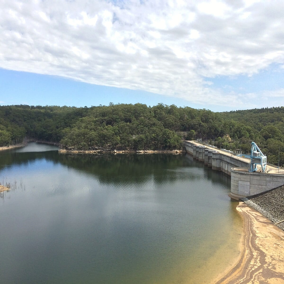
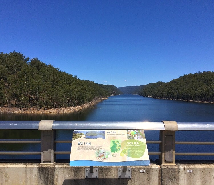
You can get great views of the dam from a steel platform on the western side of the visitor centre. On the other side of the centre is another lookout point from where you can go down and walk onto the top of the dam wall.
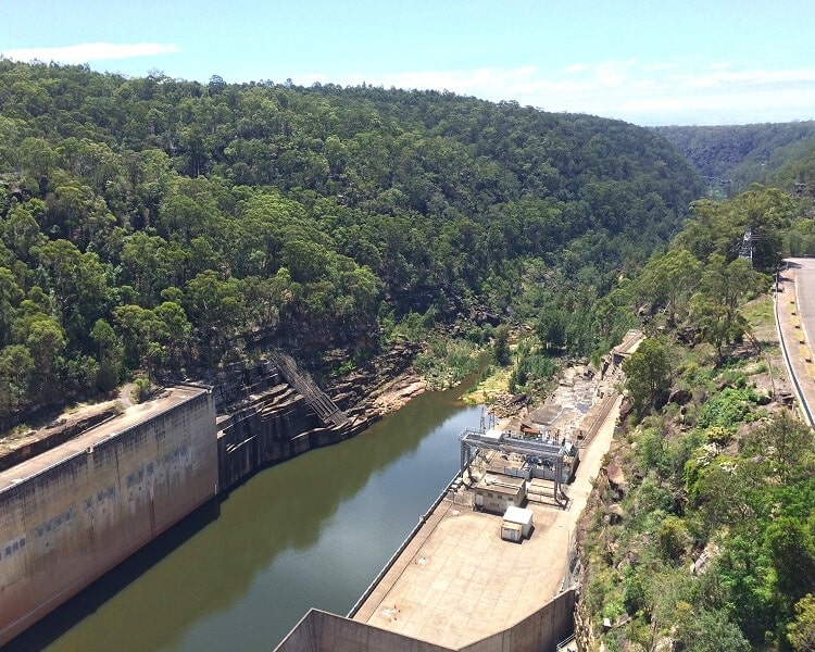
From there, you can see Lake Burragorang on one side and the Warragamba River on the other. It’s quite an impressive sight.
Please note though that pedestrian access to the dam wall is only available on weekends and public holidays between 10 am and 4 pm.
There is another lookout point on Eighteenth Street from where you can enjoy good views of the dam wall and the auxiliary spillway.
Picnic Areas
The area in and around Warragamba Dam has several excellent picnic facilities that are popular with visitors on the weekends.
Beautiful Haviland Park is located immediately south of the visitor centre, and offers toilet and picnic facilities and lots of space to move around.
A bit further away, the Warragamba Waterboard Oval is the home sports ground of the Warradale Football Club. It offers sports facilities, such as a soccer field and tennis courts, and a large picnic area with a playground, covered BBQs, and toilet facilities.
There are also several tables located in the park area on the north side of Warragamba Dam. It’s a pleasant area where you can wander around and enjoy great views of the dam wall.
I’m looking forward to seeing the dam and the Warragamba River tomorrow. My relative, explorer George William Evans, was the first settler to see this area in the early 1800’s.
Wow that’s very interesting, Julie. Hope you’ll have a great day exploring the area, it’s beautiful out there.
Thank you for taking the trouble to post this informative piece on the Burragorang Lookout (and also Warragamba Dam).
I visited the Lookout about 47 years ago, just once, and liked it very much then. I’m sure that the paths and facilities around the lookout have changed somewhat over that time, and this page has actually been helpful. Your efforts to bring this to people interested in walks in the bush, etc. in Australia are appreciated by me, and I am sure, by many others.
Thanks for your kind words Janine, hopefully you can visit this beautiful place again in the future.